Soil Types of Niger State PDF Maps
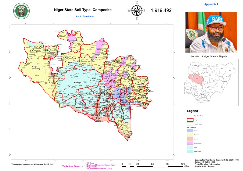
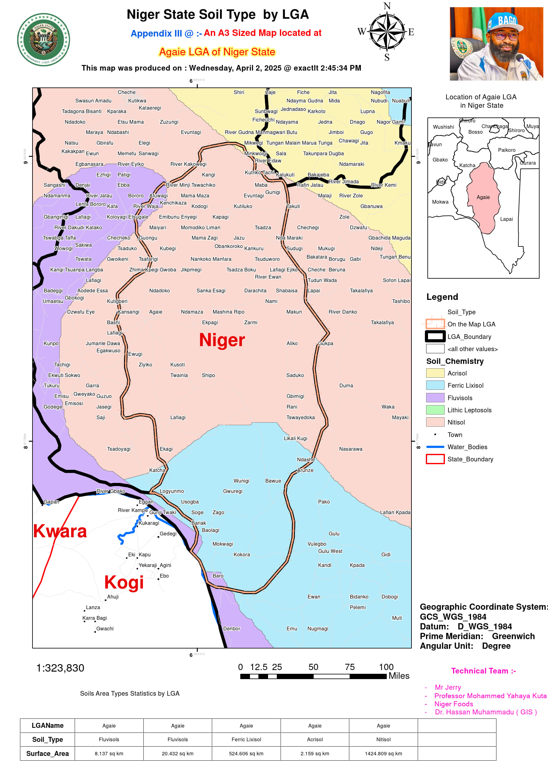
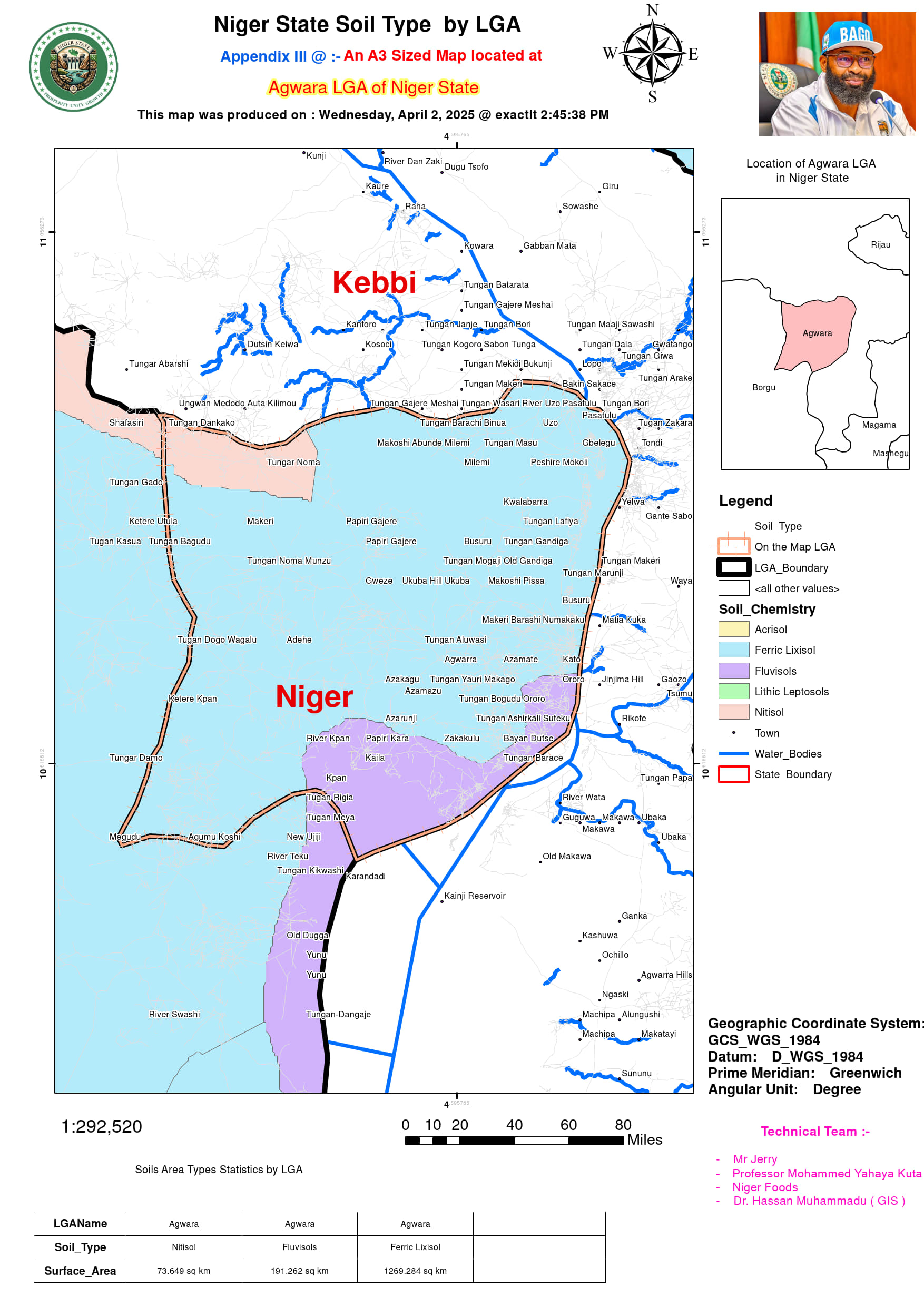
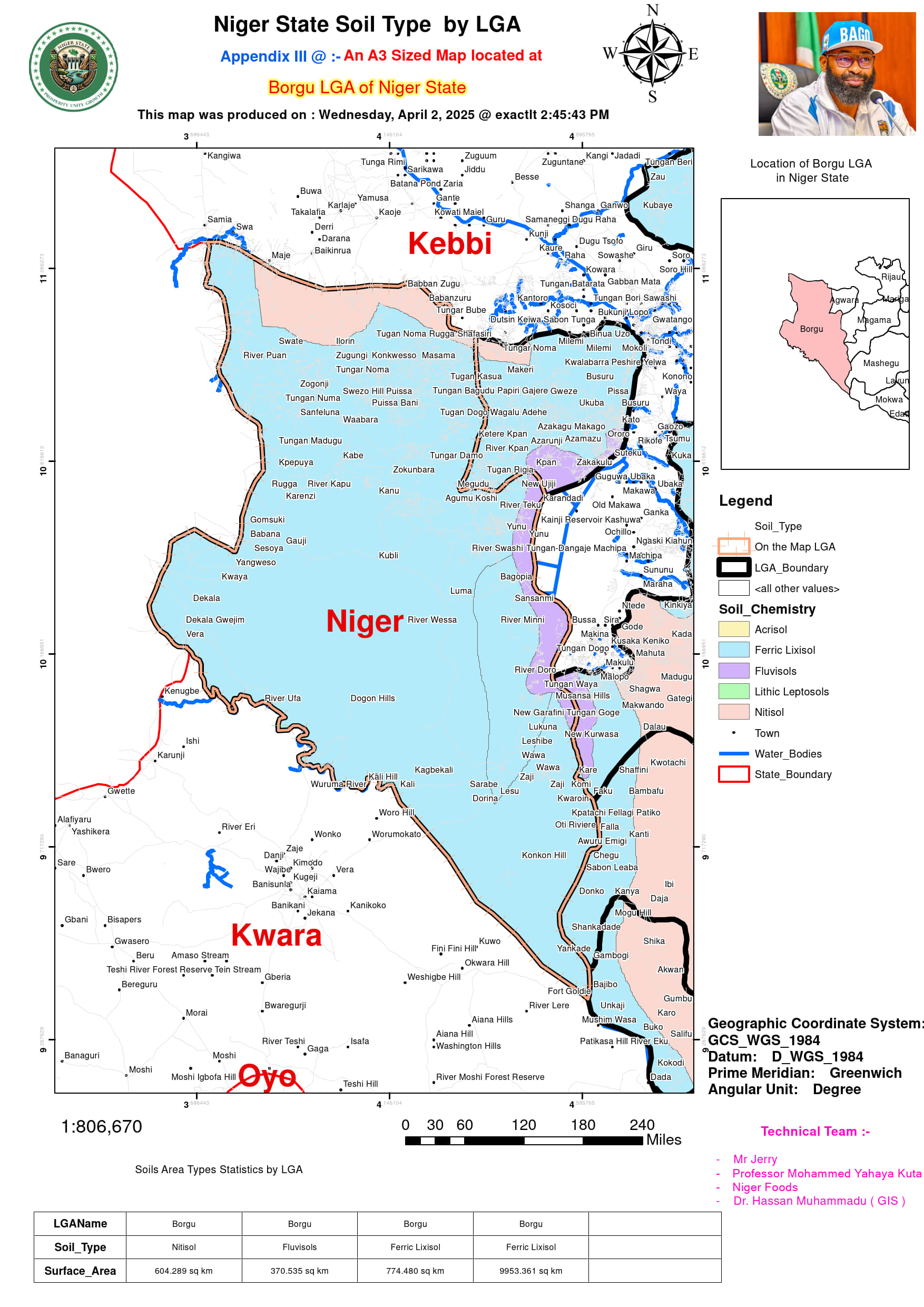
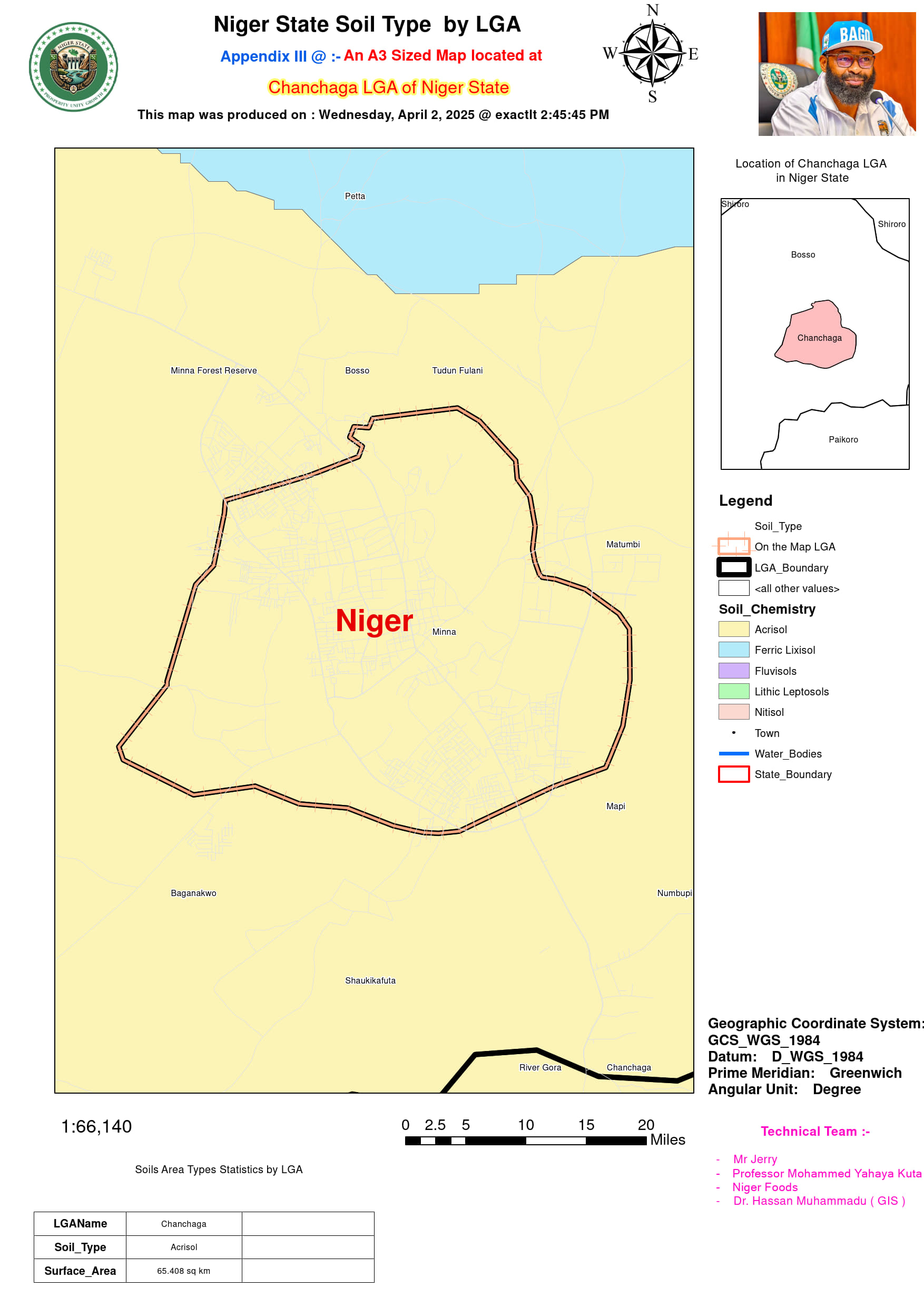
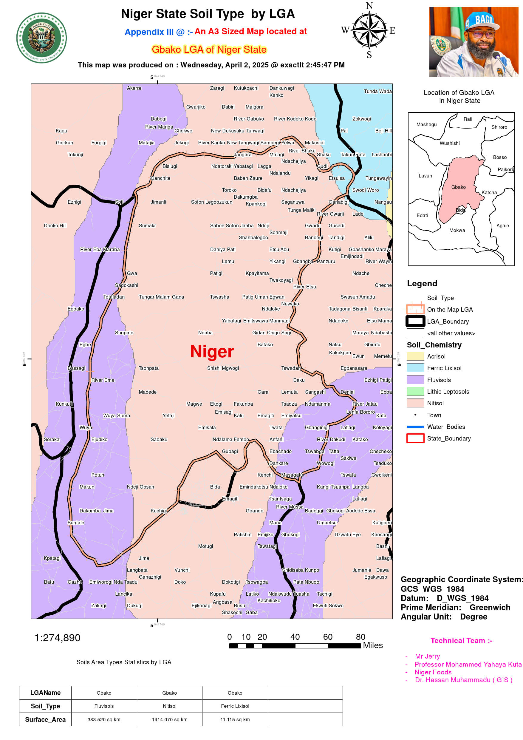
The geospatial and agricultural assessment of Niger State provides a strategic framework for optimizing land use in livestock and crop production. Using high-resolution mapping and interactive dashboards, the study evaluates agro-economic potential based on climatic variations, soil properties, and land-use trends. In Agaie, an inland savanna region with a hot dry season, the total landmass of 1,980.143 sq km is dominated by Fluvisols, Ferric Lixisols, Acrisols, and Nitisols, making it highly suitable for crop cultivation and livestock rearing. Similarly, Agwara, located near the River Niger, spans 1,534.195 sq km, with Fluvisols and Nitisols supporting year-round farming due to slightly humid conditions. In contrast, Borgu, which shares a border with Benin Republic, covers 11,703.665 sq km and exhibits arid influences, necessitating sustainable water resource management. This area is dominated by Ferric Lixisol and Nitisol, making it ideal for dryland grazing and agroforestry. Meanwhile, the urban heat effect in Chanchaga (65.408 sq km), where Acrisols dominate, calls for sustainable land-use planning to mitigate urban sprawl while ensuring food security.
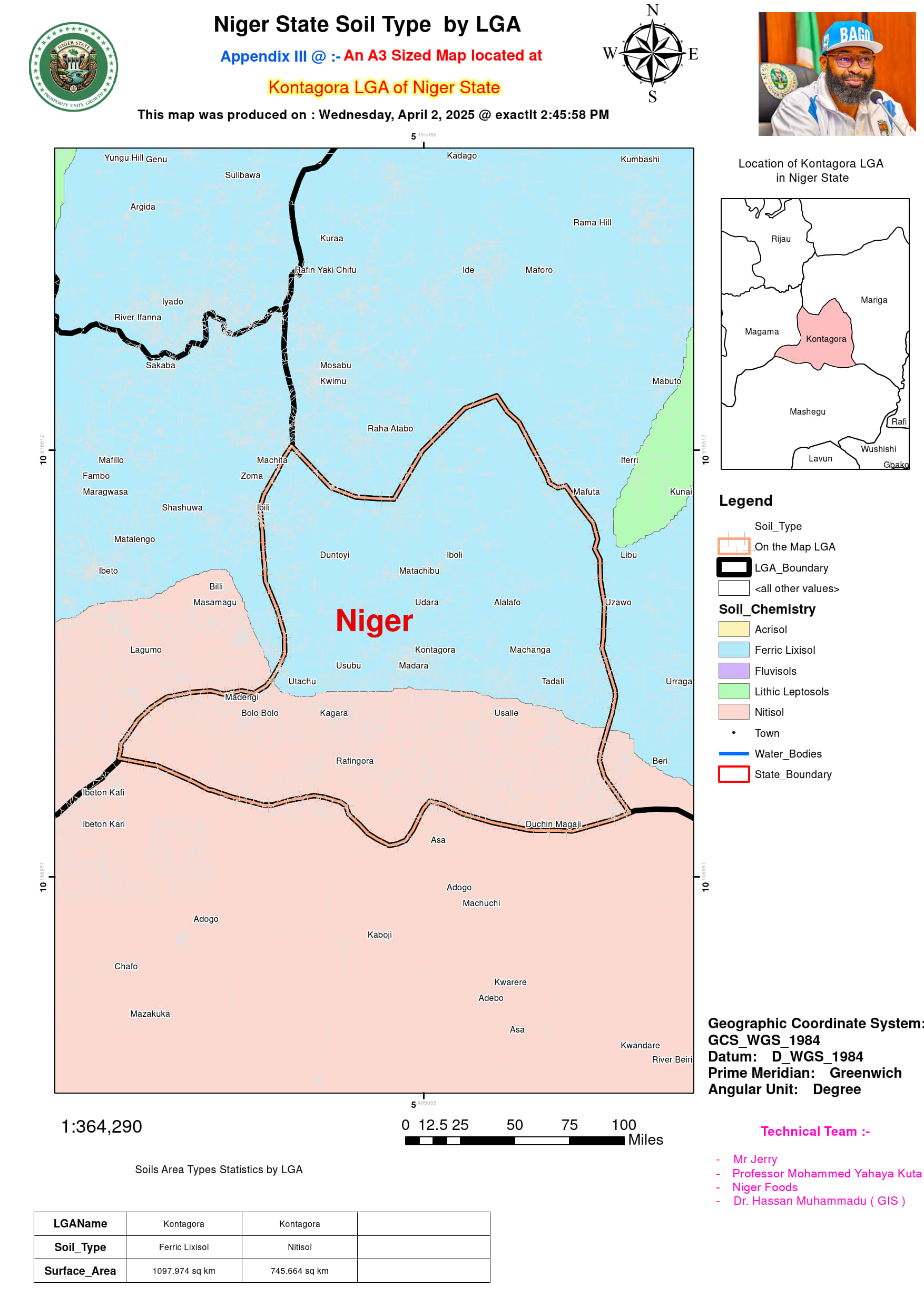
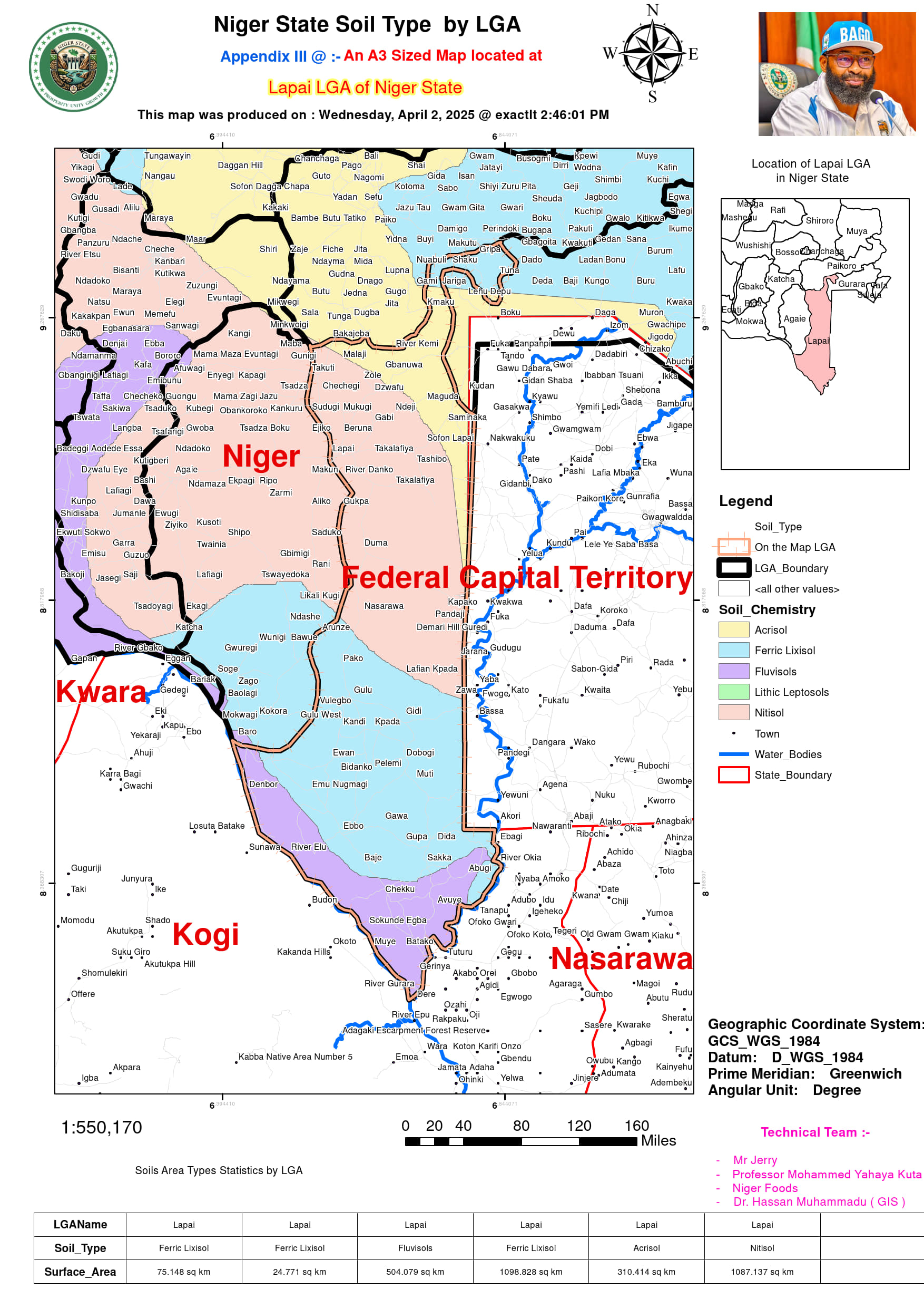
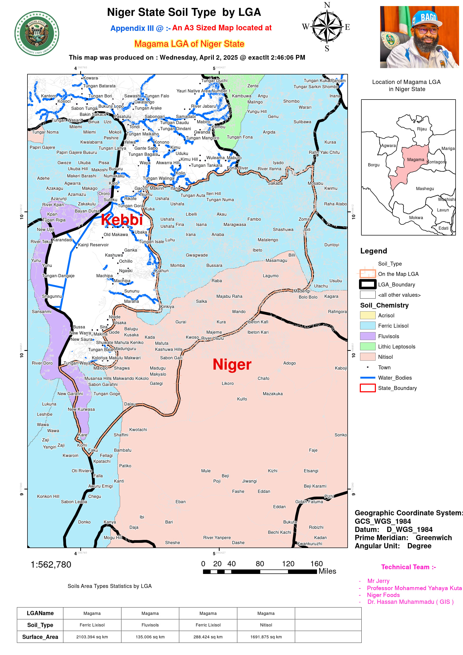
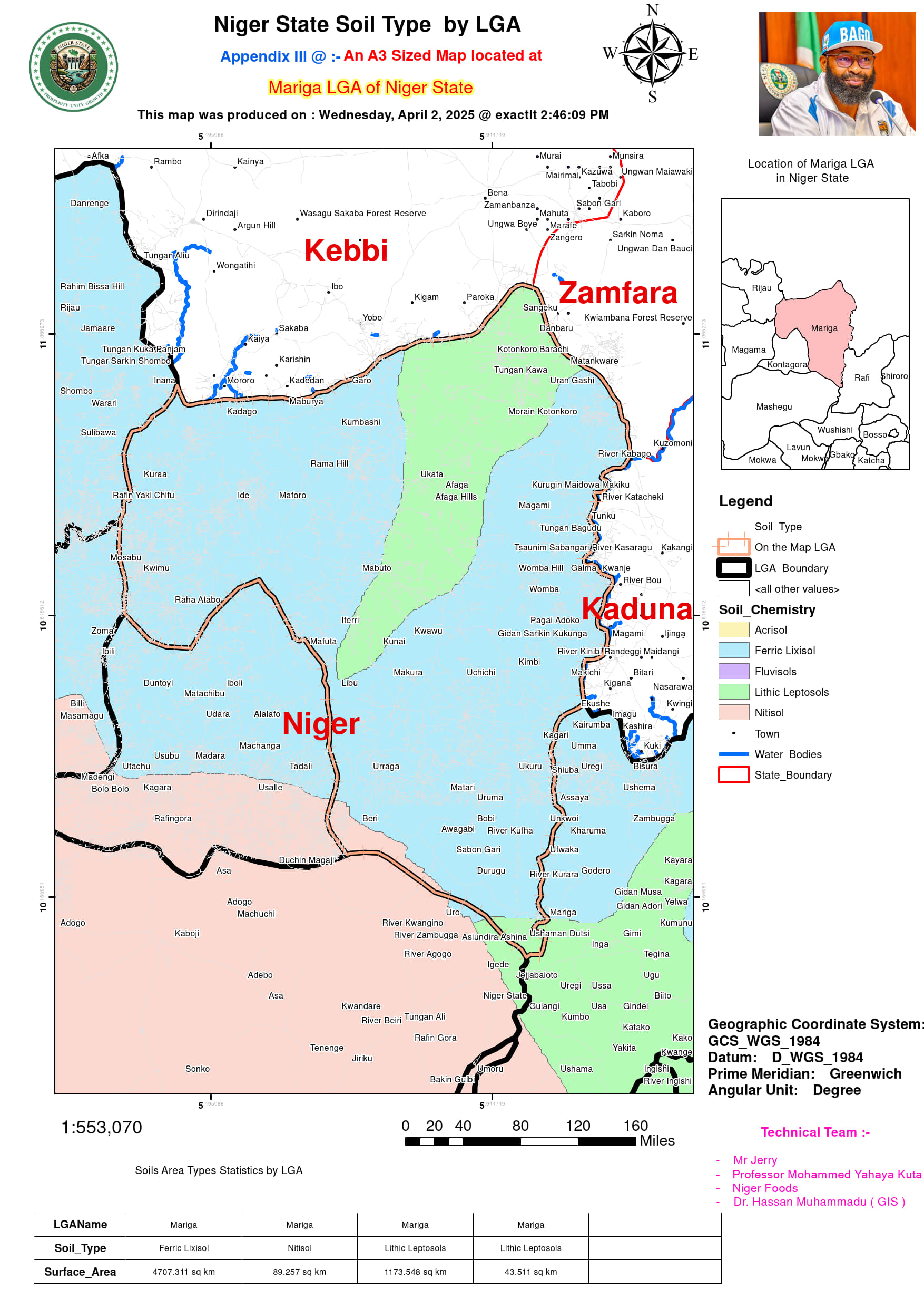
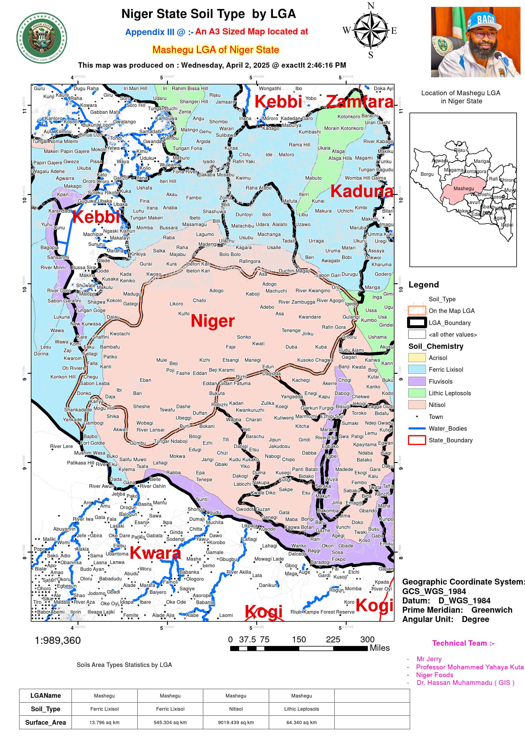
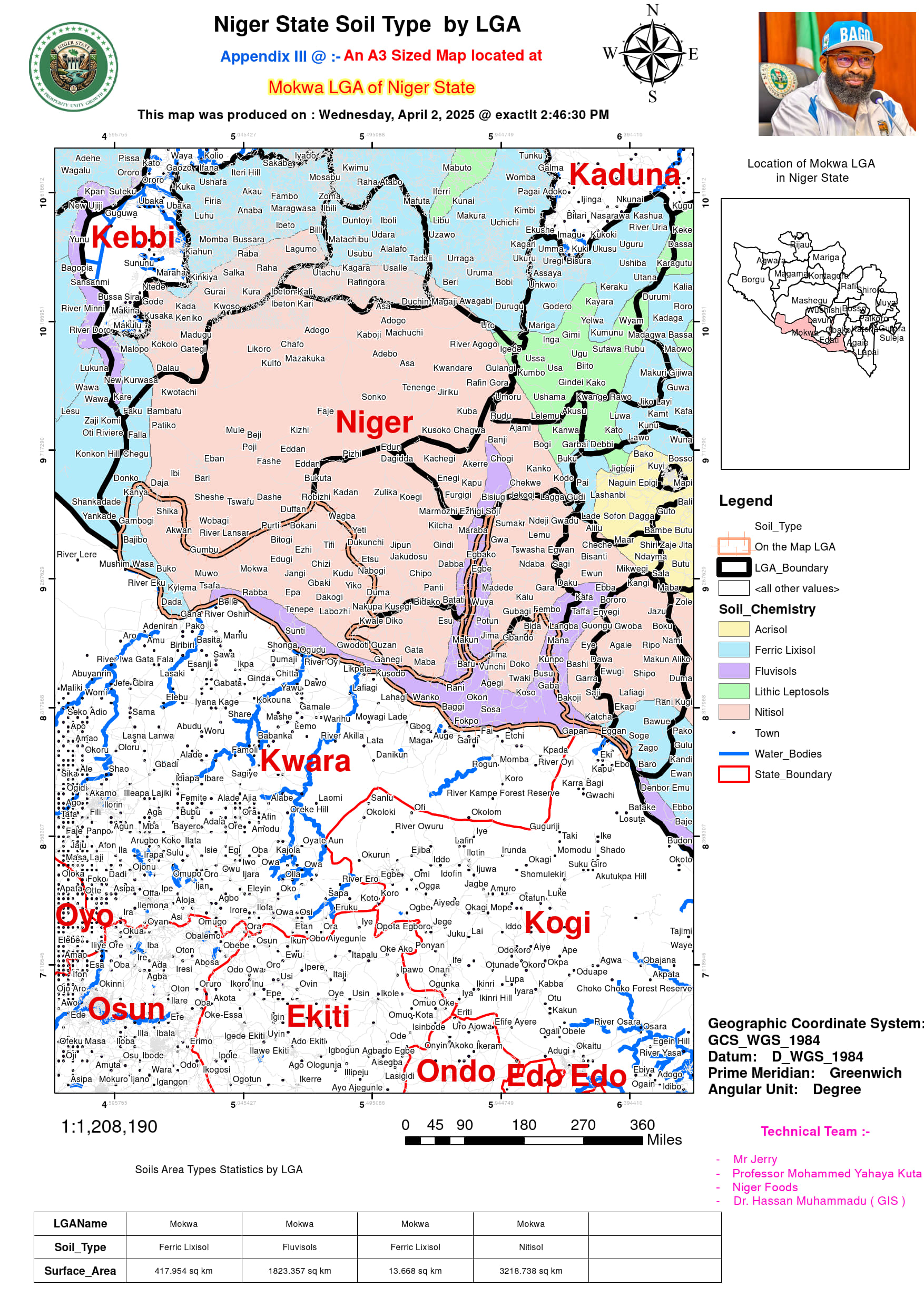
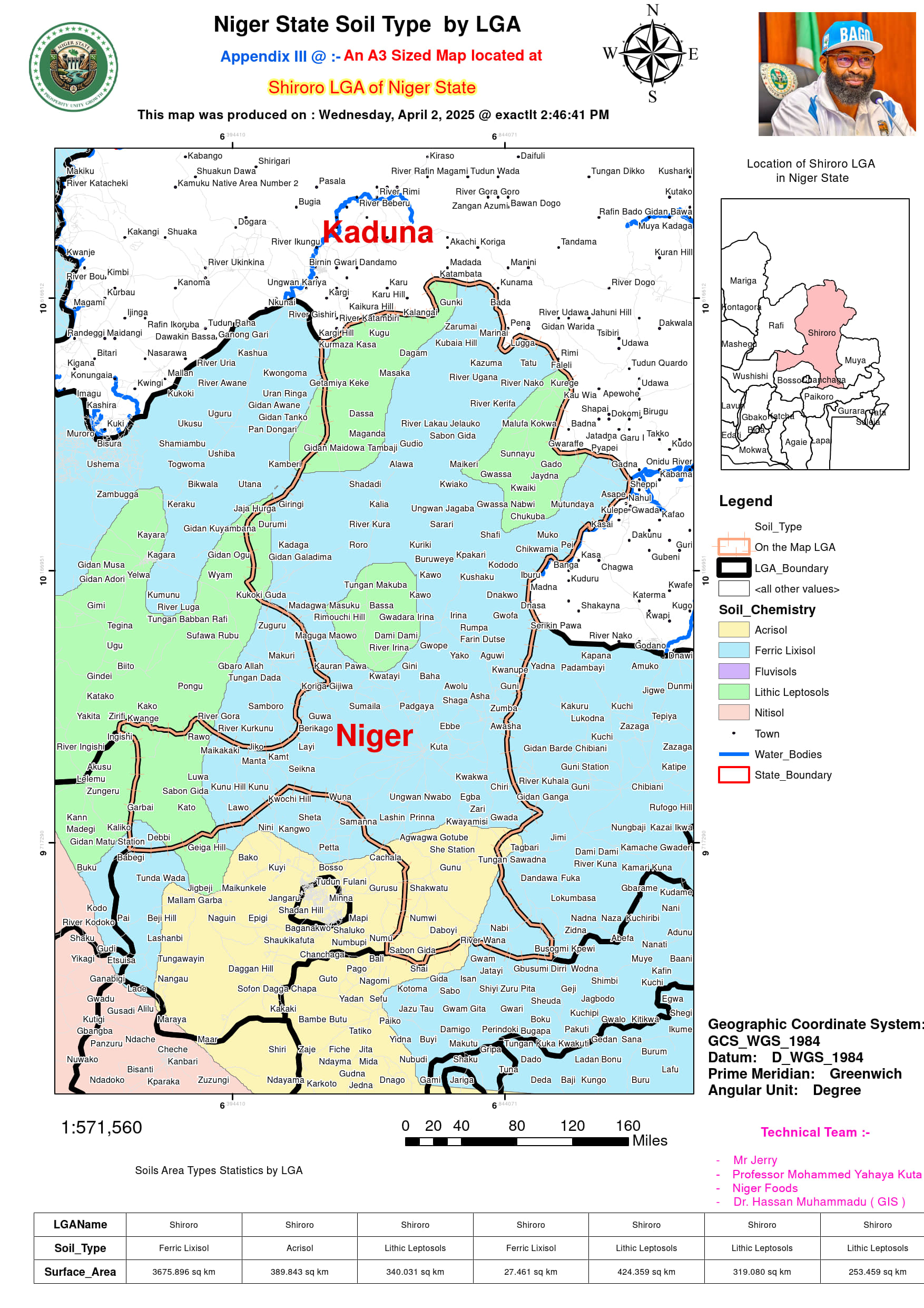
The study also highlights climatic resilience planning for hotter and arid regions such as Mariga (6,013.627 sq km), where Ferric Lixisol and Lithic Leptosols necessitate adaptive agricultural practices. Likewise, Magama (4,218.699 sq km) in the extreme north, influenced by Sahelian climate, requires strategies for combating soil degradation in Ferric Lixisols and Nitisols. In Mokwa, which includes floodplains (5,473.717 sq km), Fluvisols offer opportunities for rice cultivation and livestock watering points. Lapai (3,100.377 sq km), a transitional zone, requires targeted interventions in its mix of Ferric Lixisol, Acrisol, and Nitisol to enhance agricultural productivity. The Road Network Distribution Dashboard improves connectivity for farm-to-market logistics in vast LGAs like Kontagora (1,843.638 sq km) and Mashegu (9,642.879 sq km). Additionally, the Rainfall Distribution Dashboard aids in climate adaptation for regions like Shiroro (5,429.129 sq km), where hydrological models enhance dam-driven irrigation for agricultural sustainability. By integrating spatial datasets with economic and agronomic indicators, this framework empowers policymakers to enhance Niger State’s agricultural resilience while advancing national food security goals.
