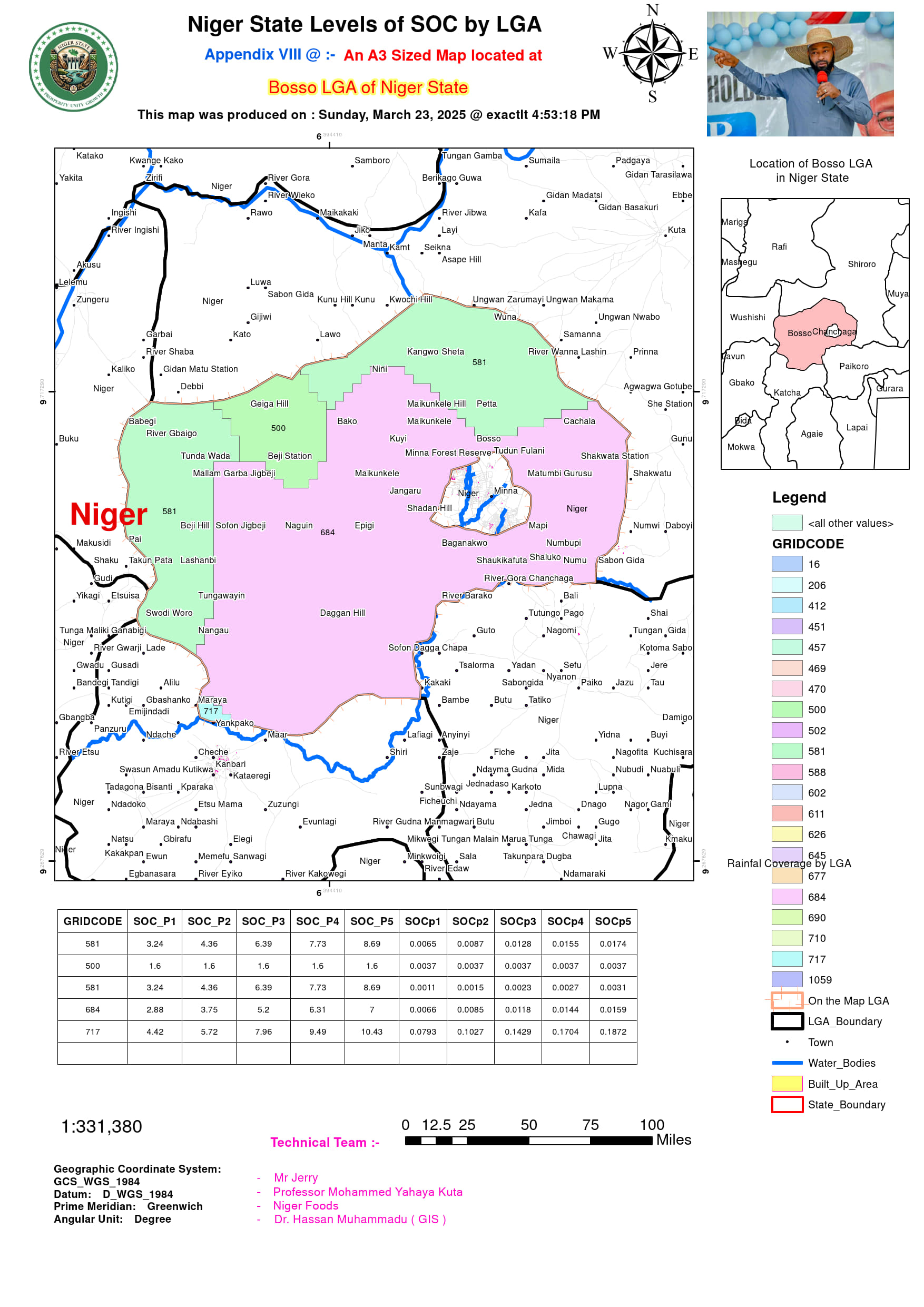
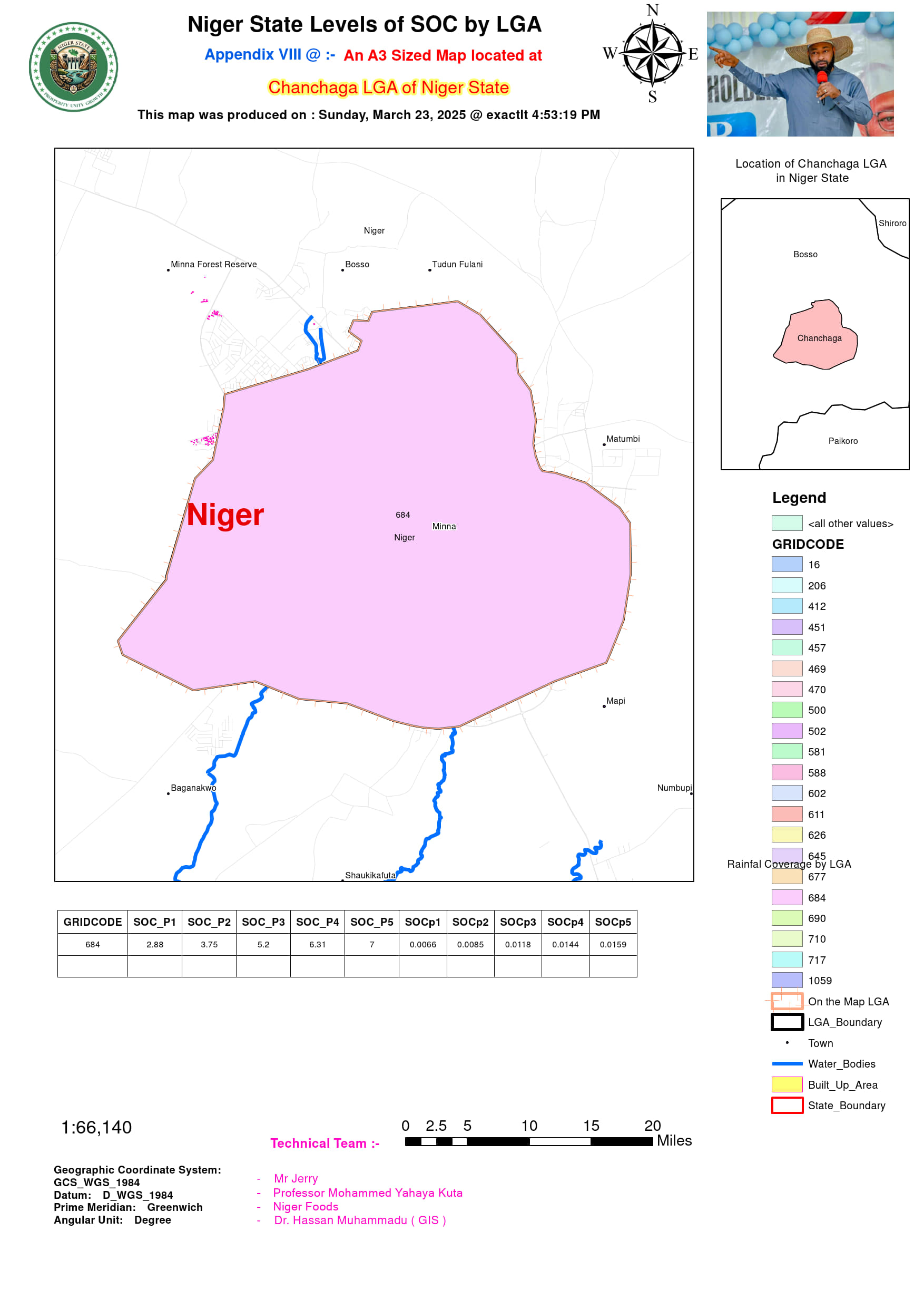
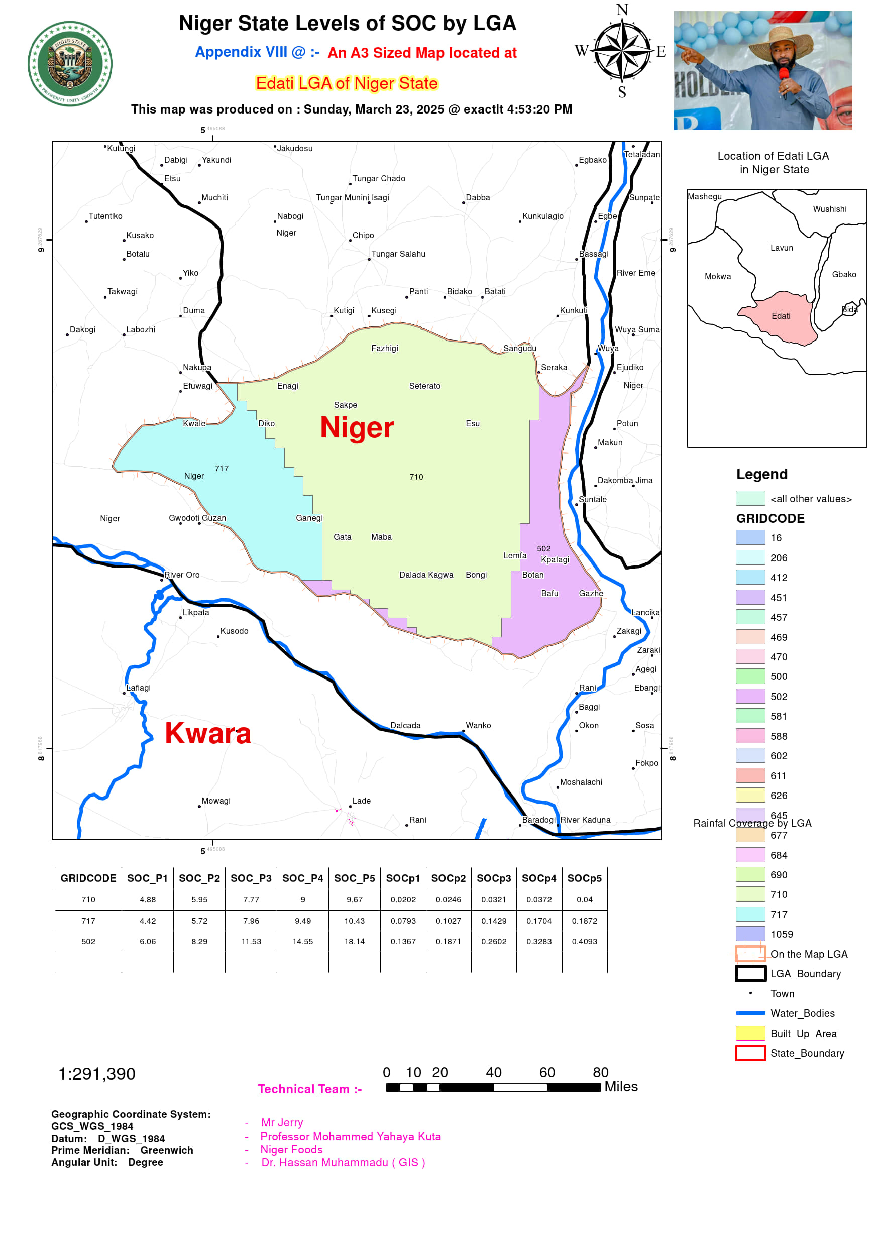
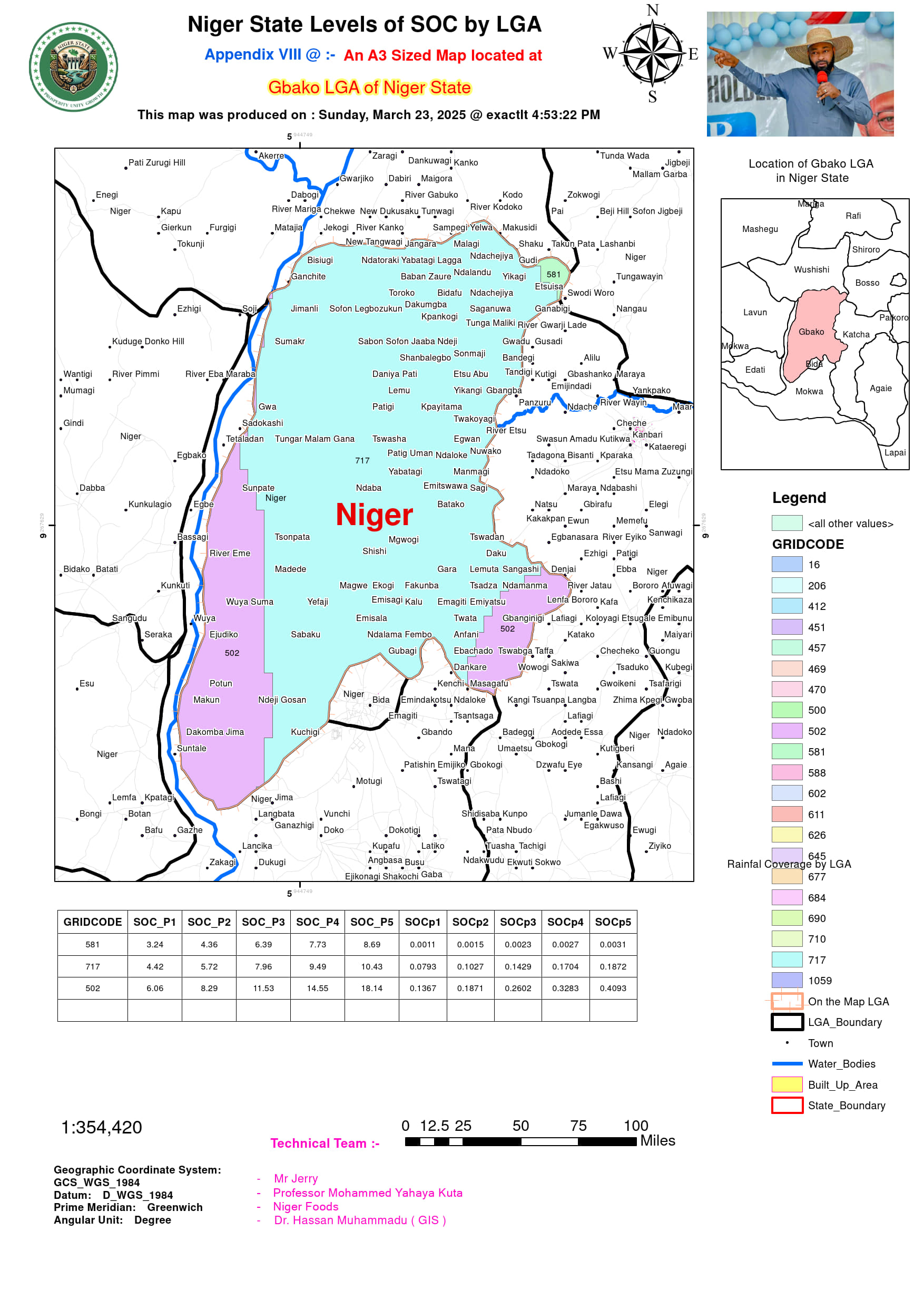
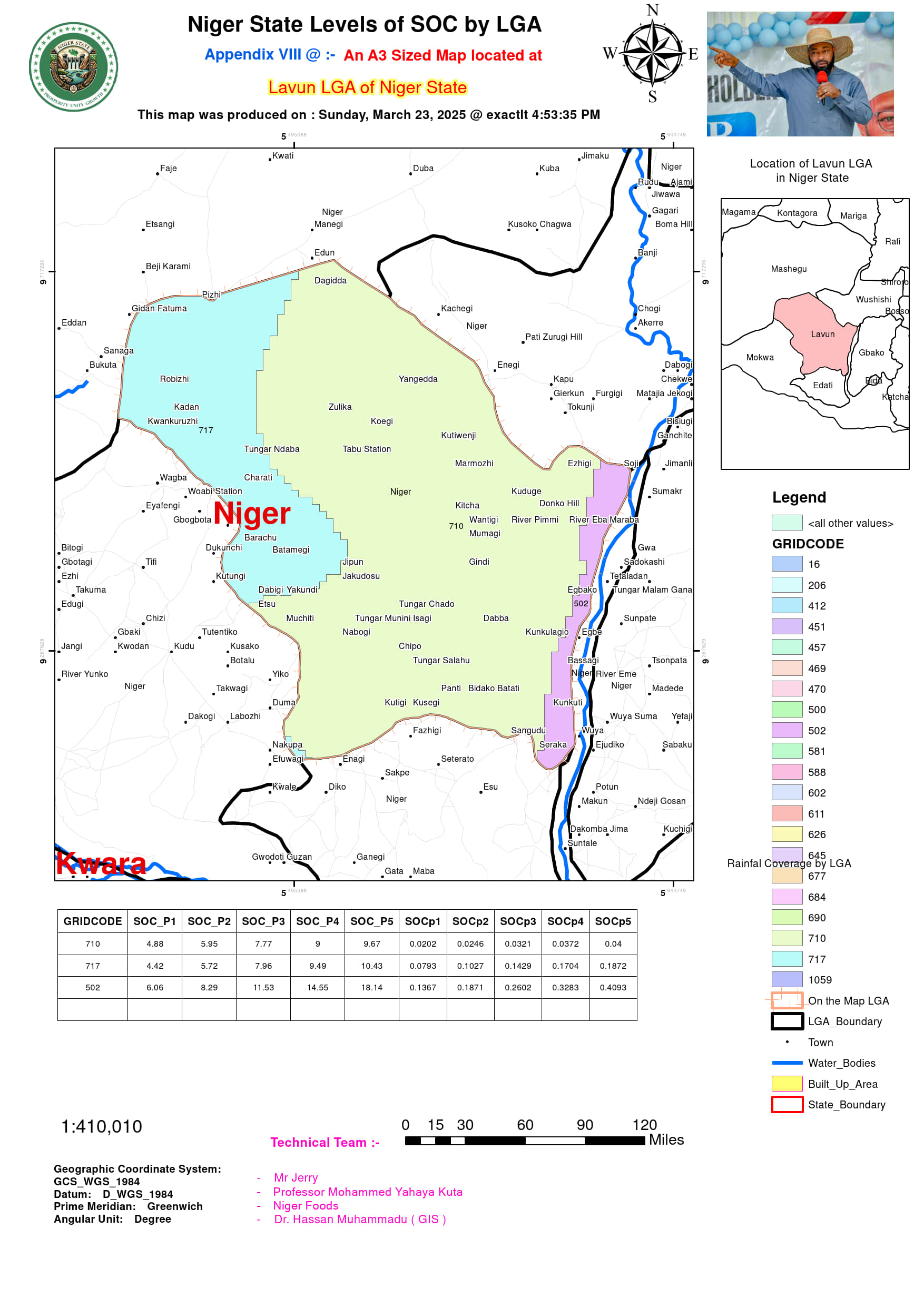
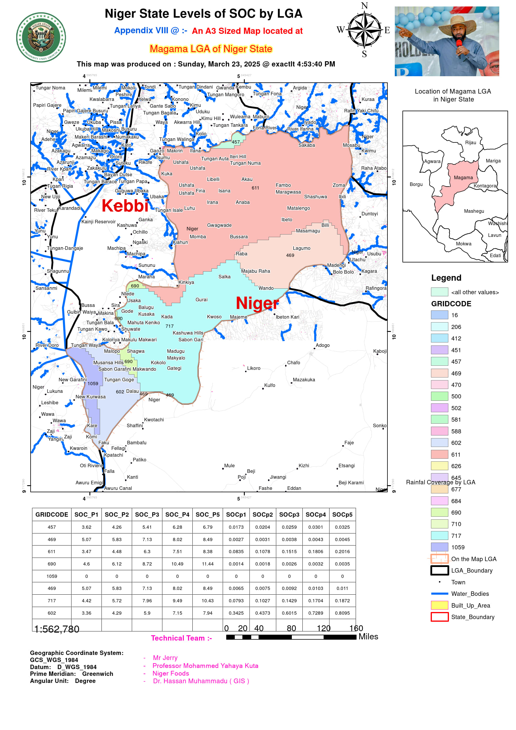
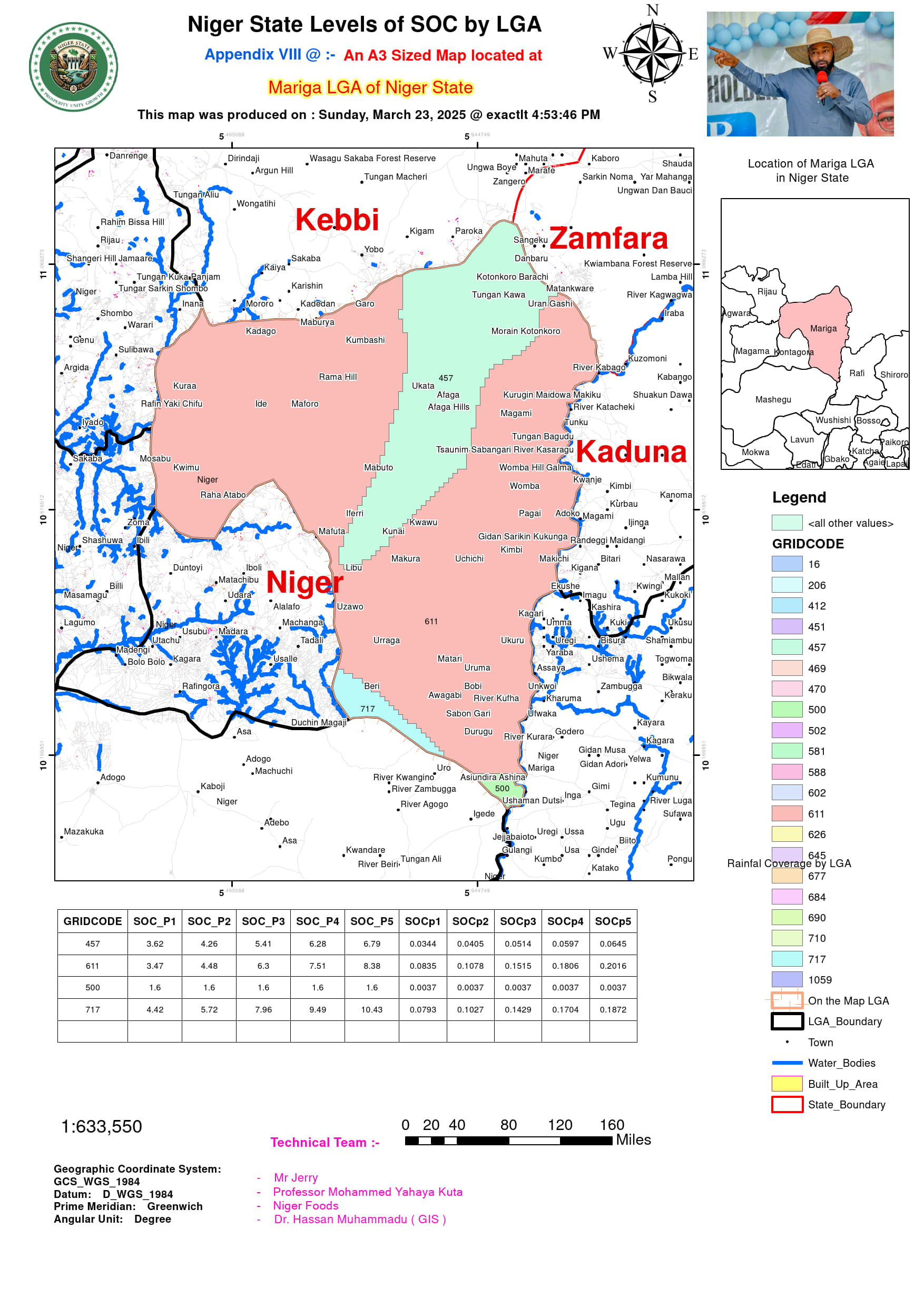
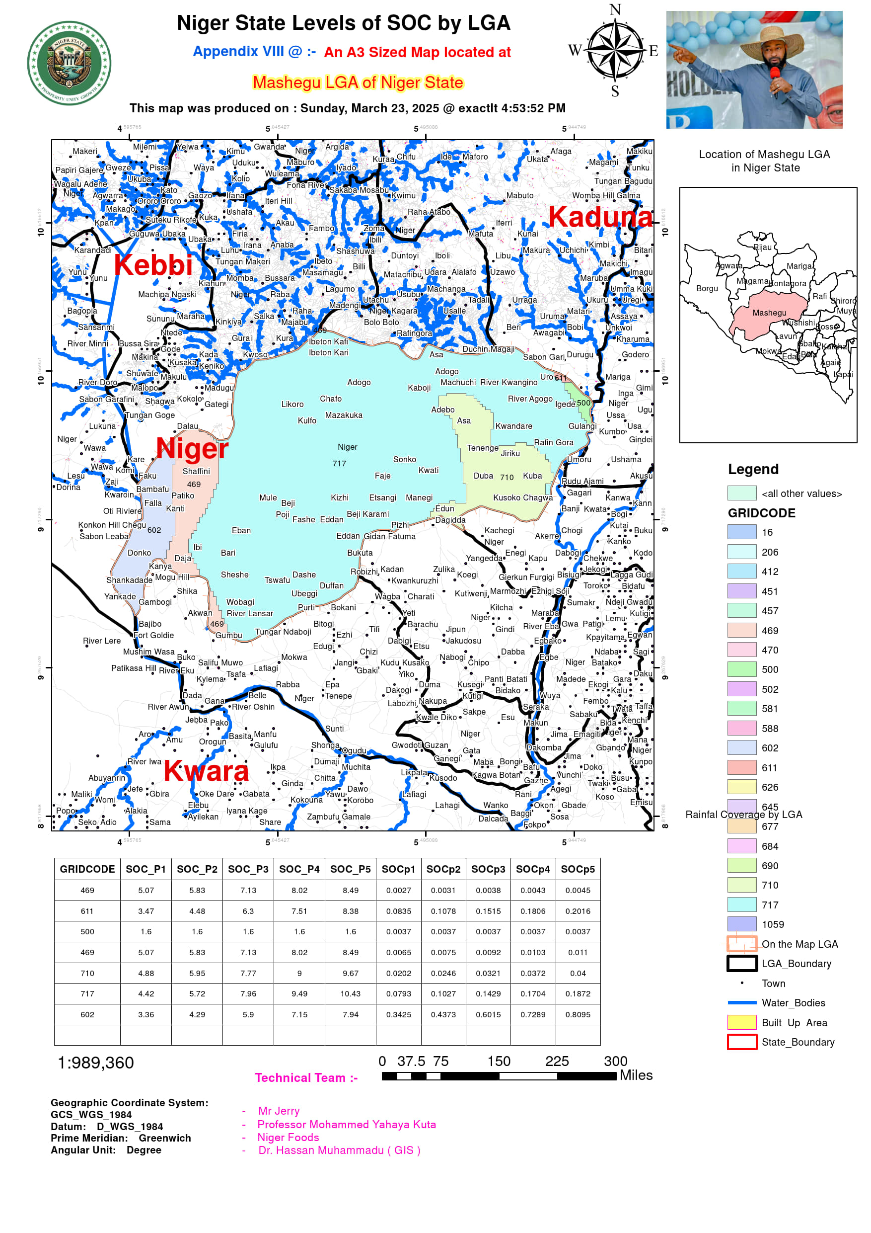
Soil Organic Carbon Maps
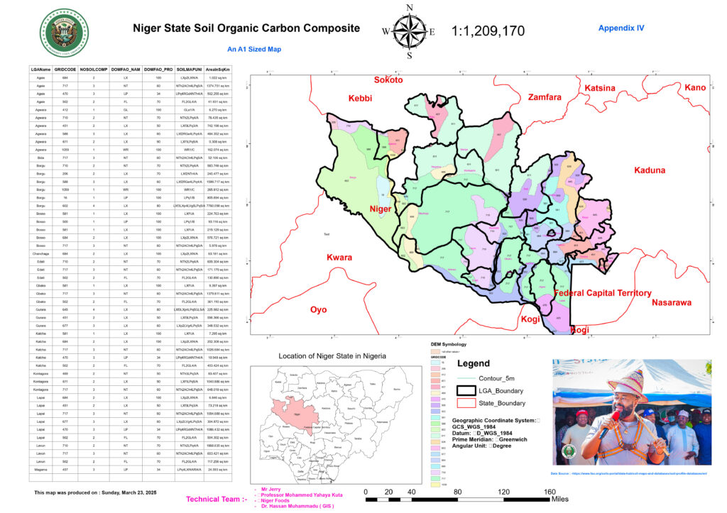
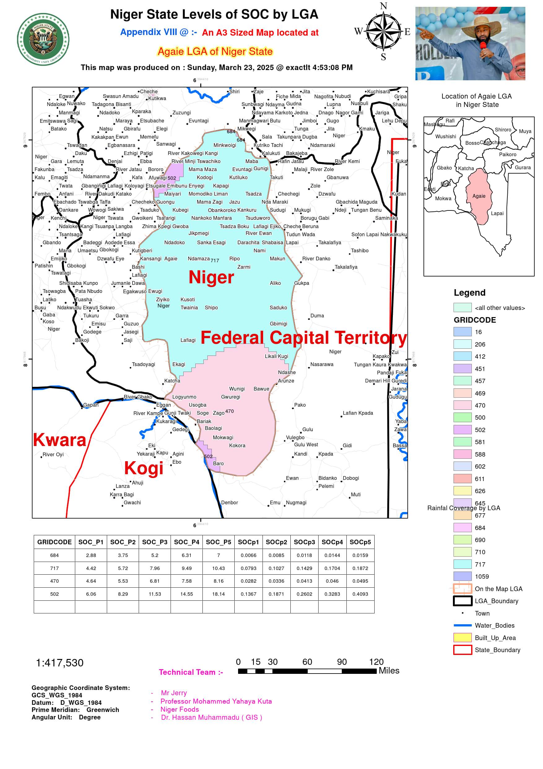
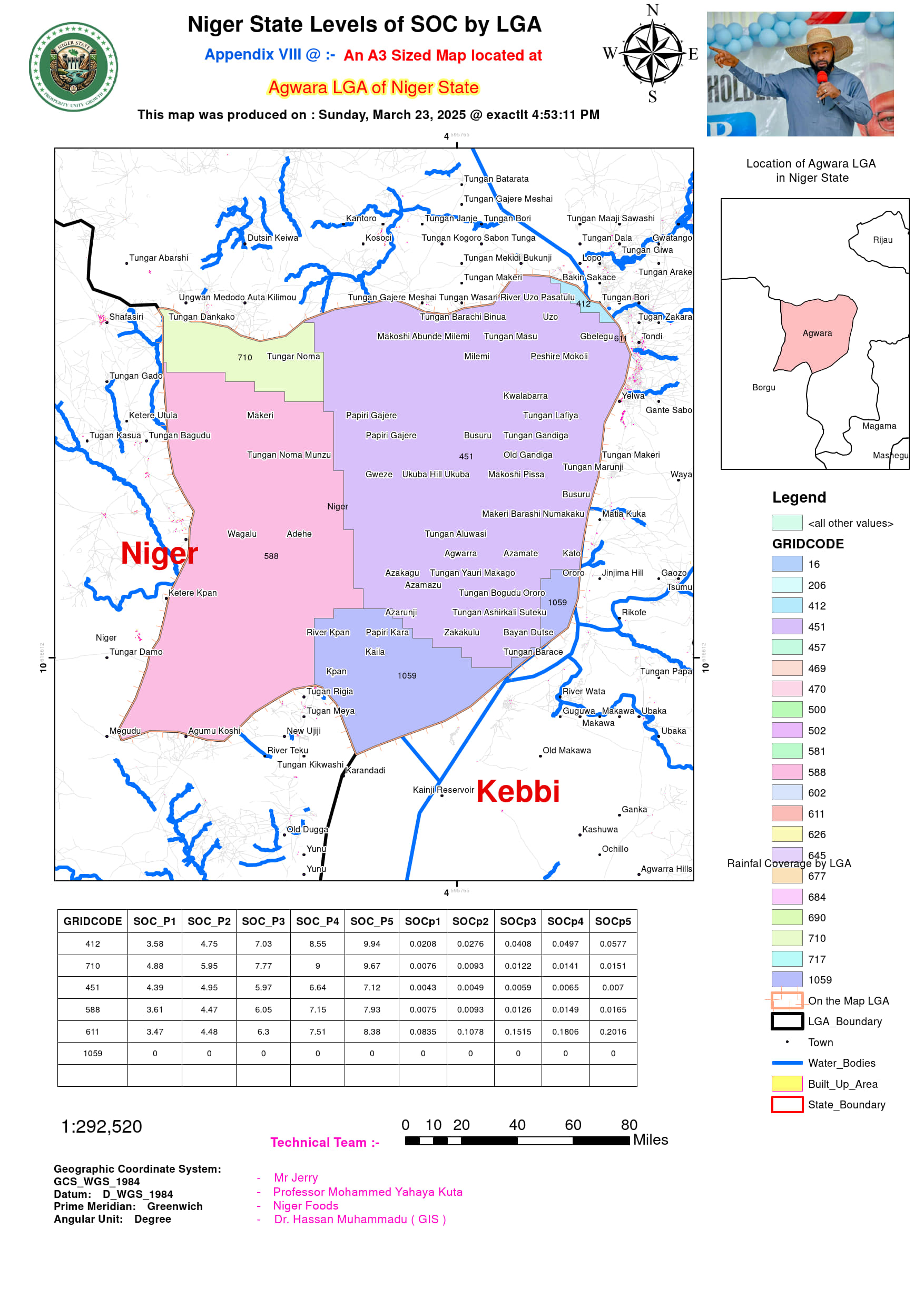
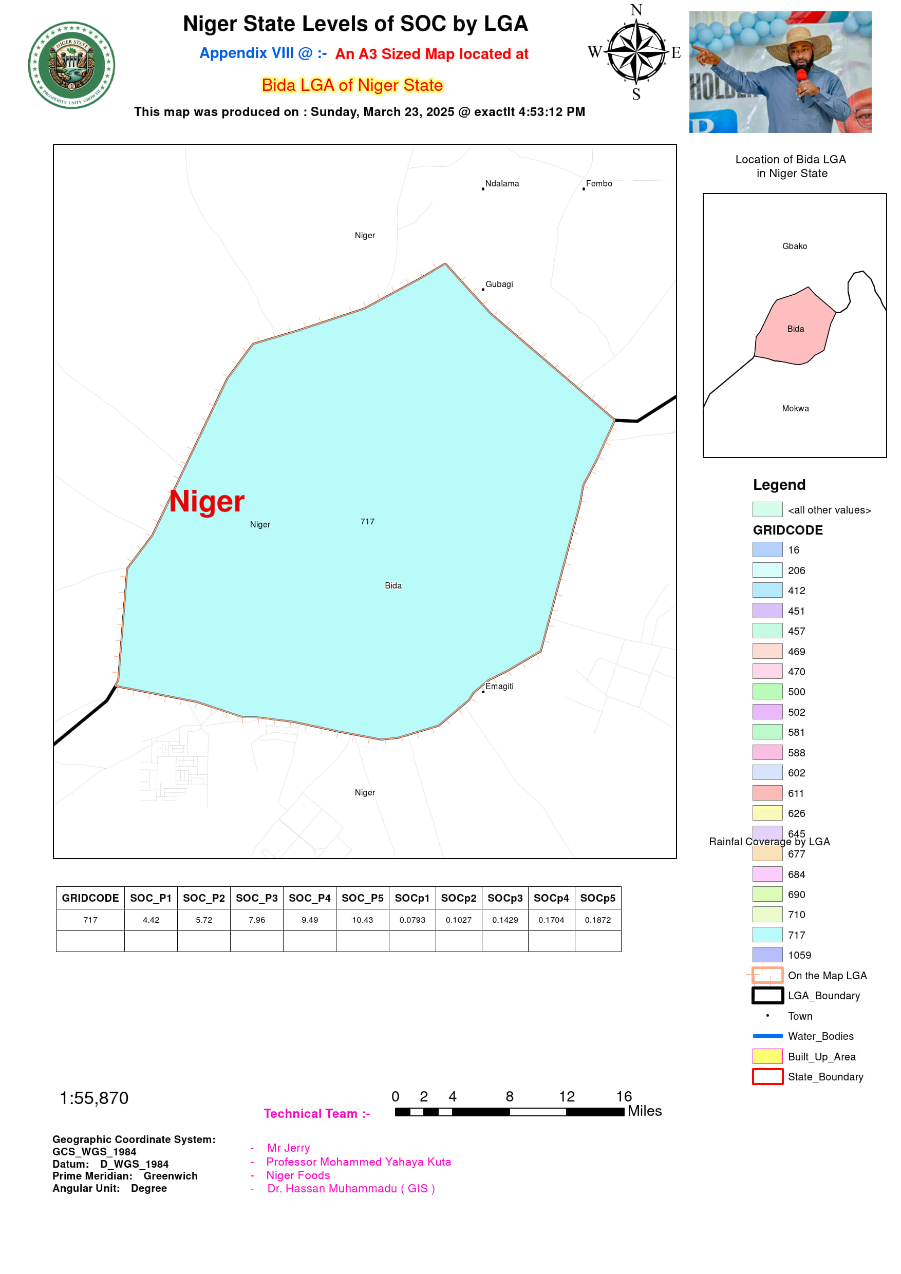
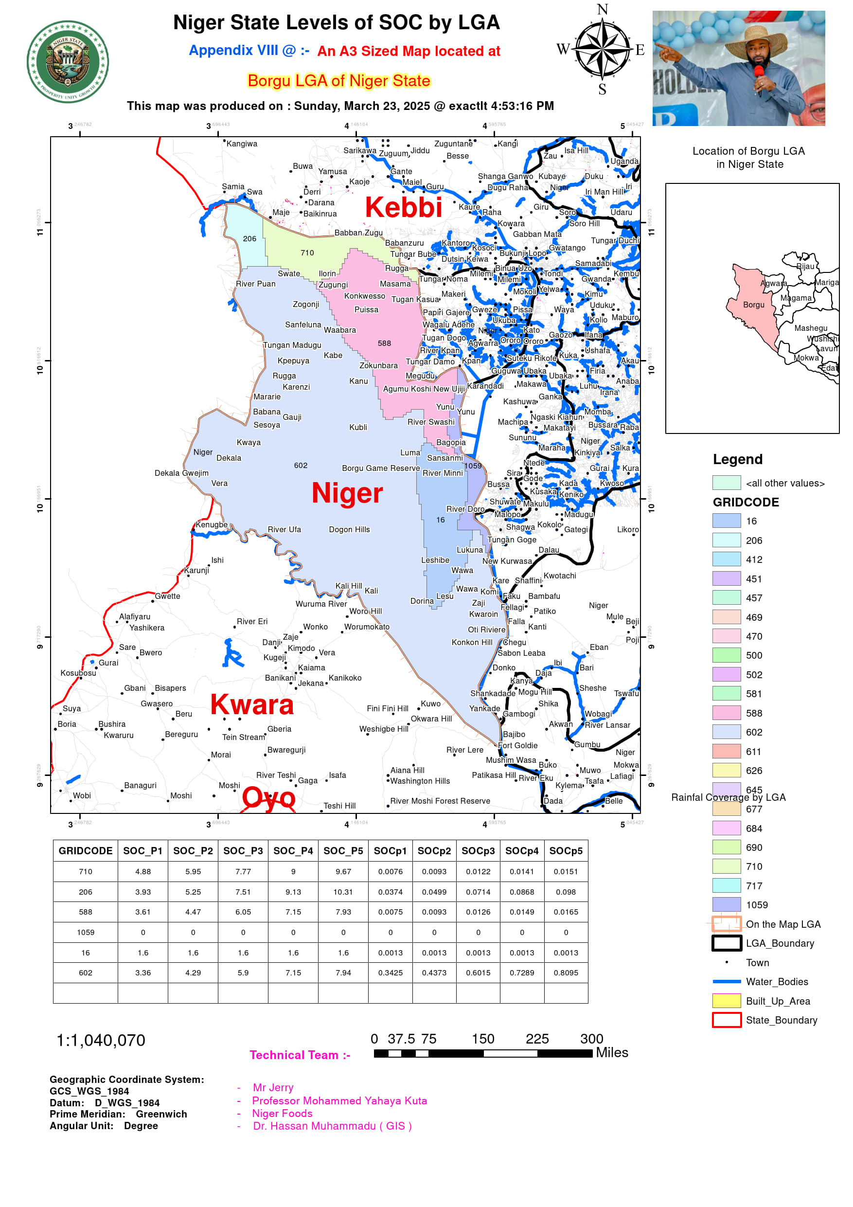
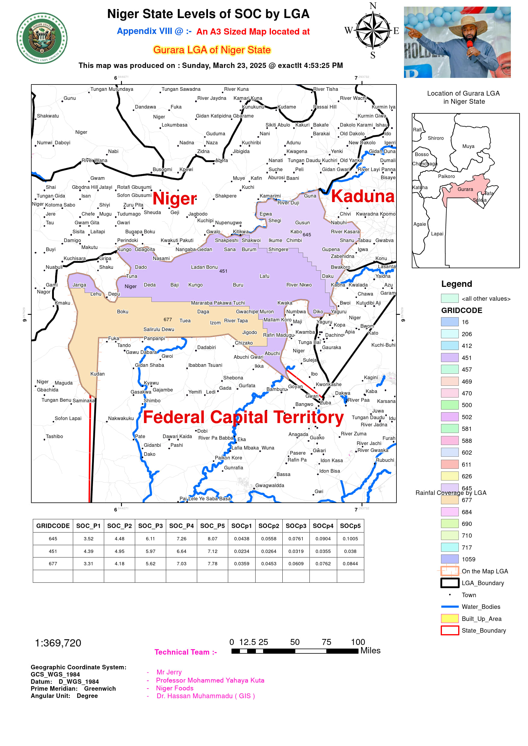
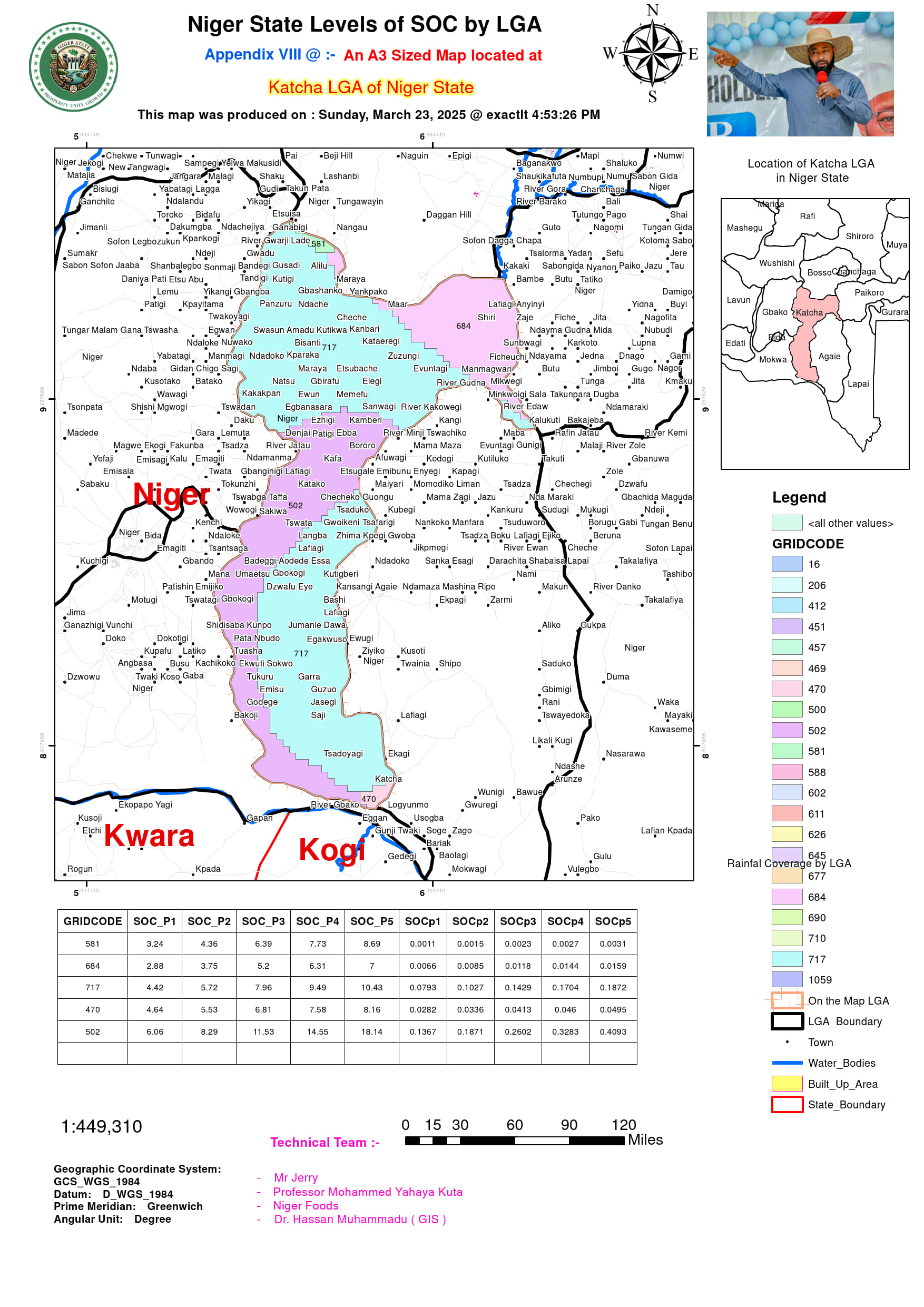
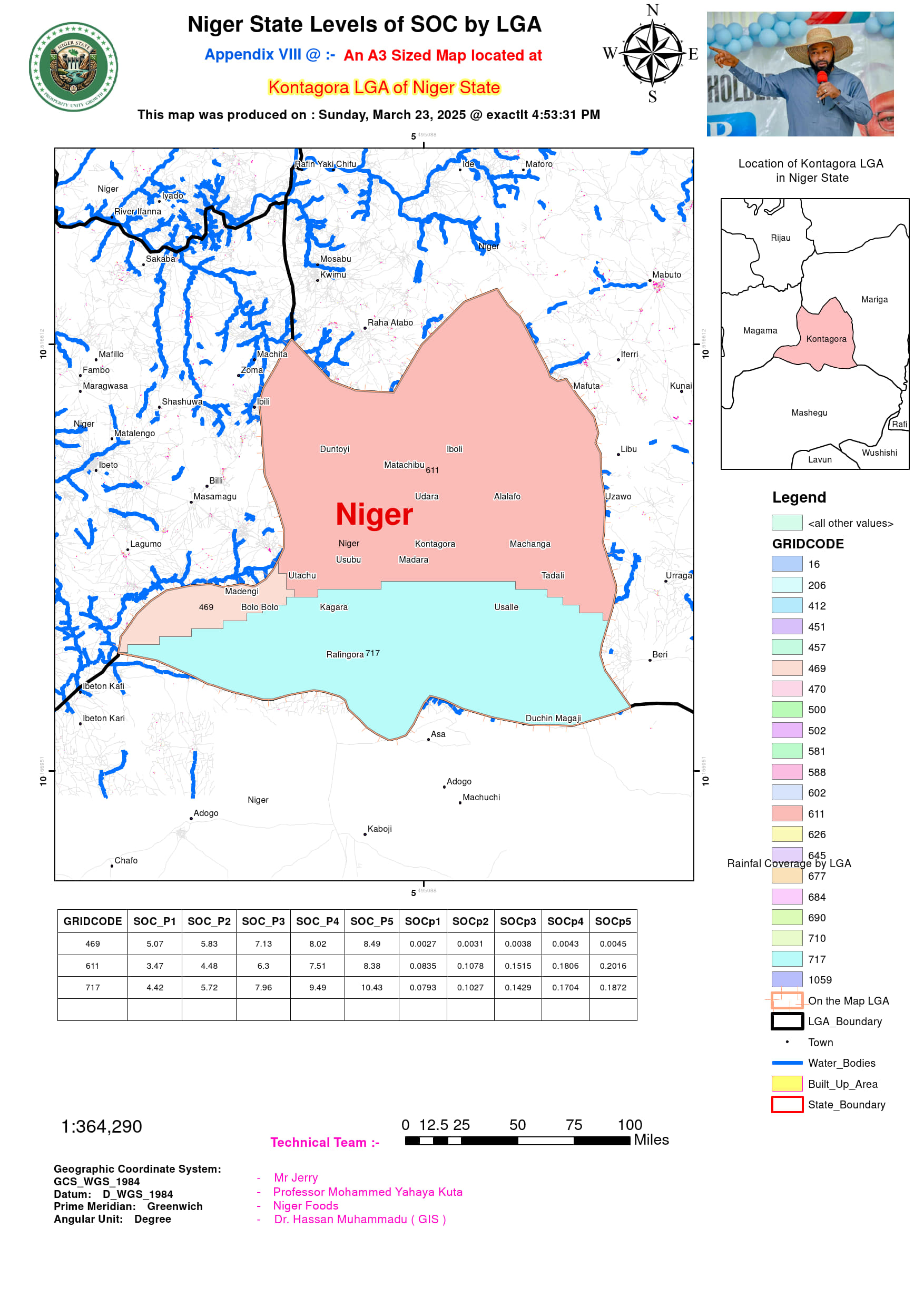
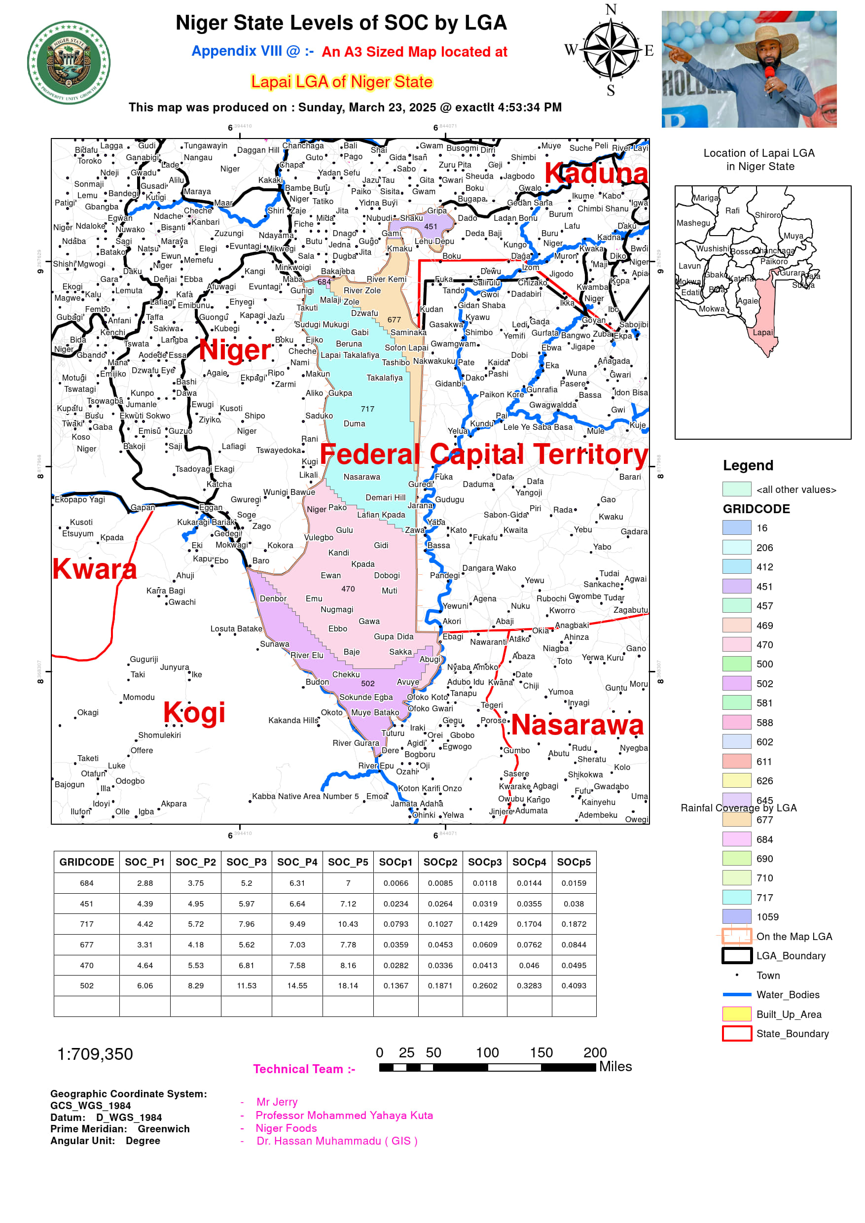
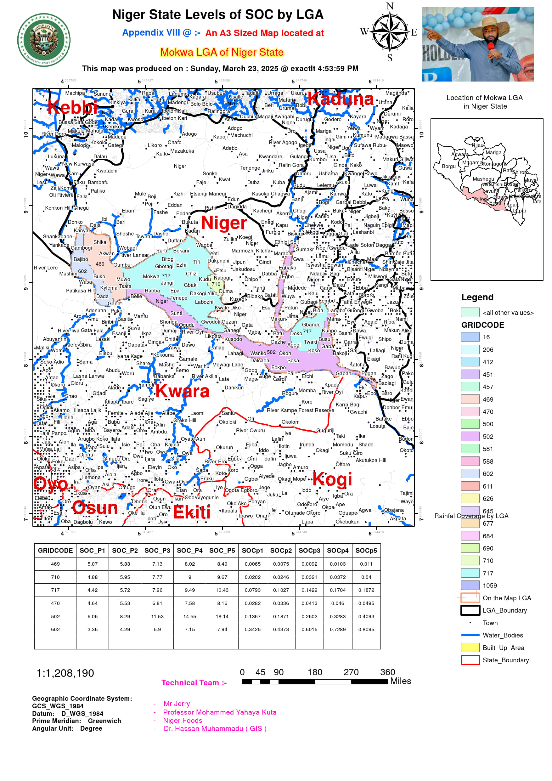
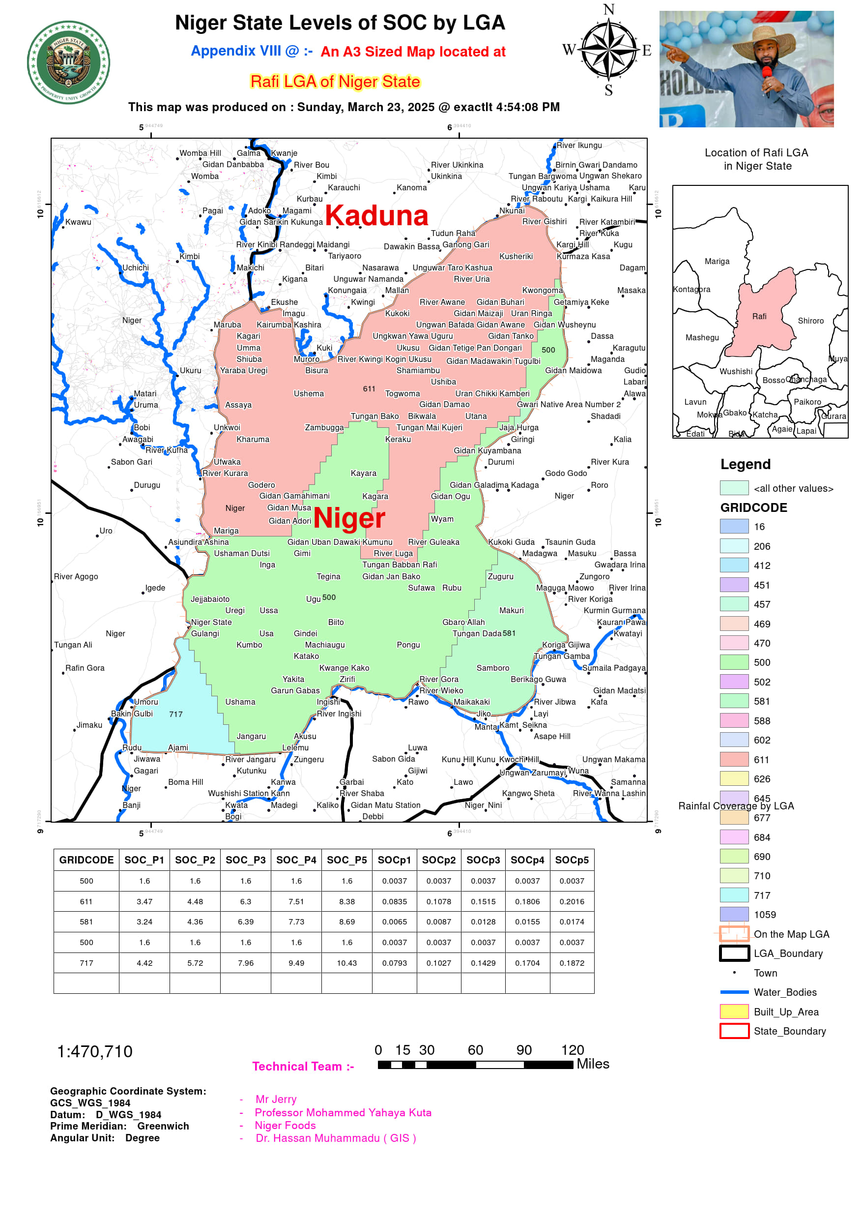
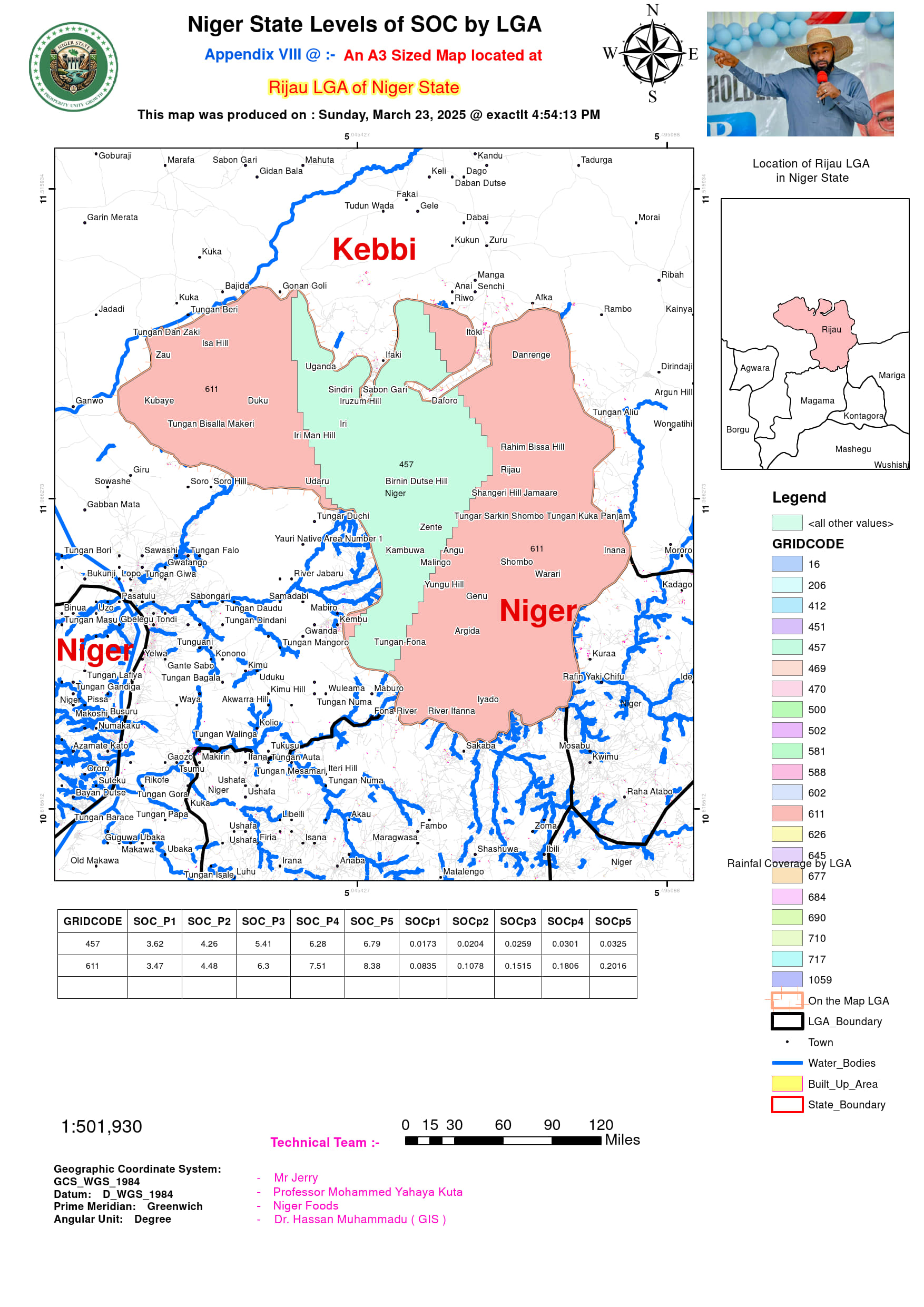
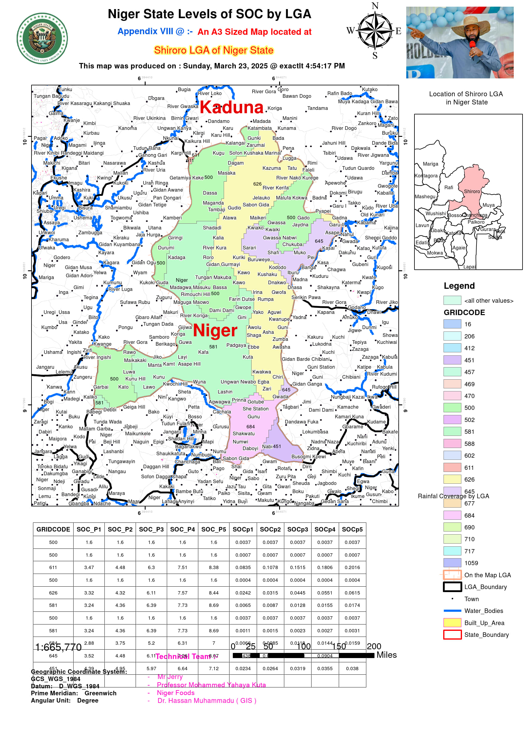
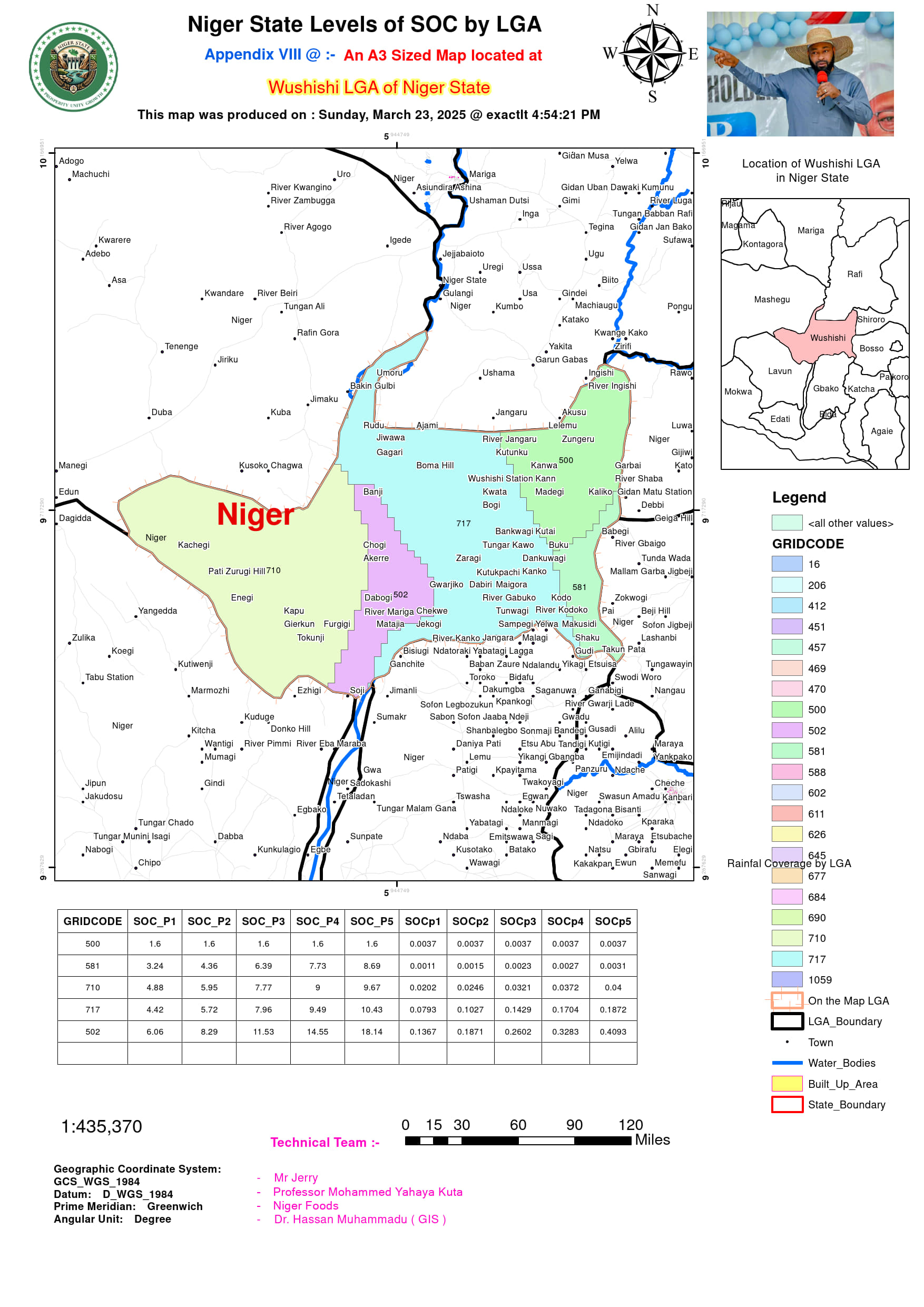
The comprehensive soil organic carbon (SOC) dataset for Niger State’s 25 LGAs holds significant potential for enhancing agricultural productivity and environmental management. By analyzing SOC distribution across varying soil depths (0-200cm) and correlating it with precise LGA area measurements, the data enables targeted interventions for soil health improvement. The identification of high-SOC zones like Mokwa (1692.76 sq km with P5 SOC of 18.14%) and low-SOC areas such as Shiroro (433 sq km with 1.6% SOC) provides a scientific basis for differential land management strategies. This granular, location-specific data is particularly valuable for precision agriculture initiatives, allowing farmers and policymakers to optimize fertilizer use, implement appropriate conservation techniques, and prioritize areas for carbon sequestration projects based on both SOC content and land area extent.
The data’s true potential lies in its capacity to inform climate-smart land use planning across Niger State’s diverse ecological zones. The clear patterns showing SOC accumulation in floodplain soils (Fluvisols) versus depletion in urbanized or rocky areas (Leptosols) create opportunities for evidence-based policymaking. For instance, the extensive SOC-rich alluvial plains in LGAs like Mokwa and Agaie (1374.75 sq km) could be designated as priority zones for conservation agriculture, while the large but moderate-SOC areas like Borgu (7760 sq km) present ideal locations for scaled-up carbon farming initiatives. The inclusion of precise area measurements for each LGA and sub-zone enables accurate calculations of total carbon stocks, which is crucial for participating in global carbon credit markets and meeting Nigeria’s climate commitments.
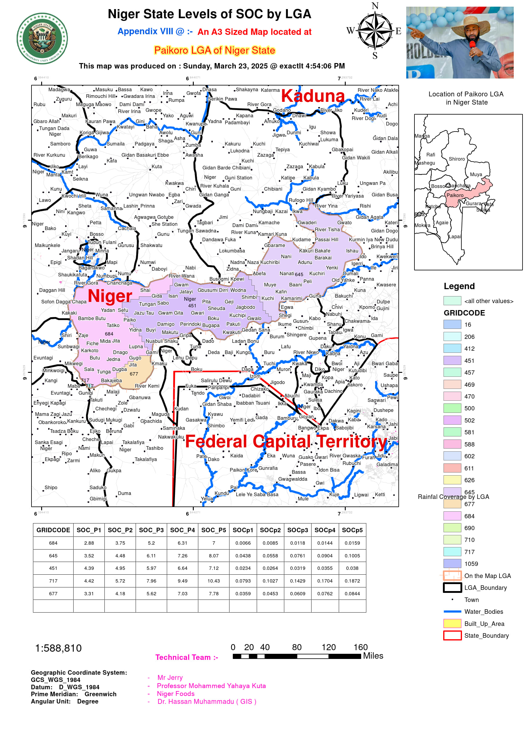
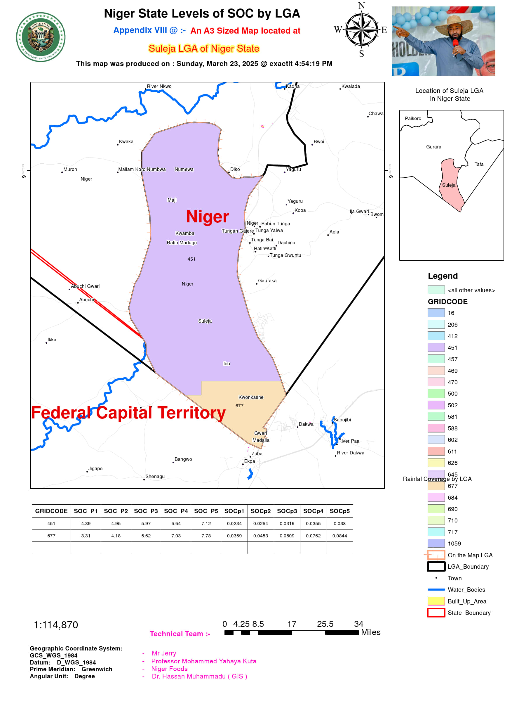
Beyond agricultural applications, this dataset serves as a foundational resource for multiple developmental sectors. The integration of SOC data with LGA area statistics facilitates comprehensive watershed management plans, particularly for the Niger River basin which covers much of the state. Urban planners can utilize the soil quality information for sustainable city expansion, especially in rapidly growing LGAs like Suleja. Furthermore, the dataset establishes a critical baseline for monitoring land degradation and evaluating the effectiveness of soil conservation programs over time. With periodic updates, this SOC and land area database could evolve into a dynamic decision-support tool for achieving food security, climate resilience, and sustainable development goals across Niger State.
