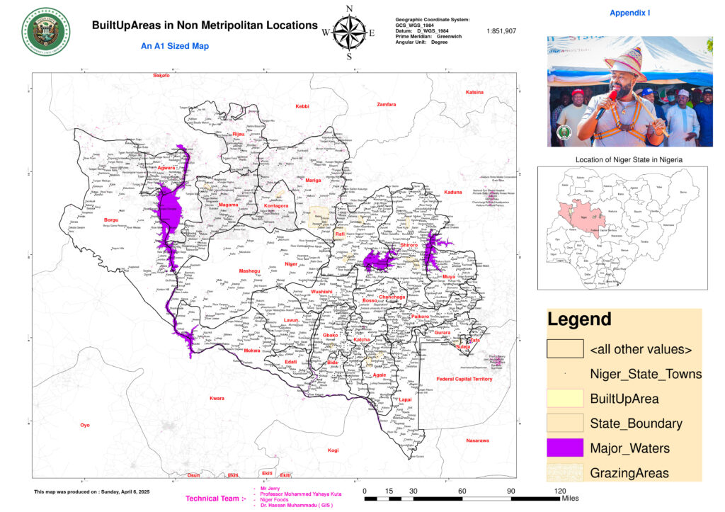
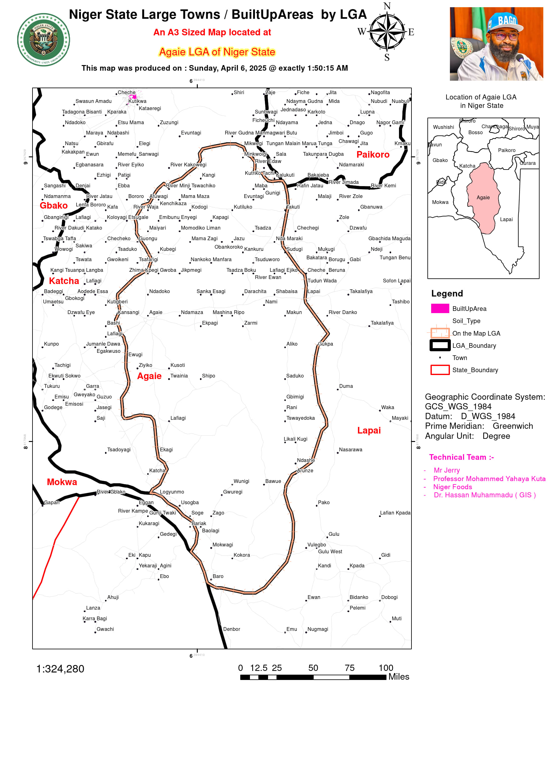
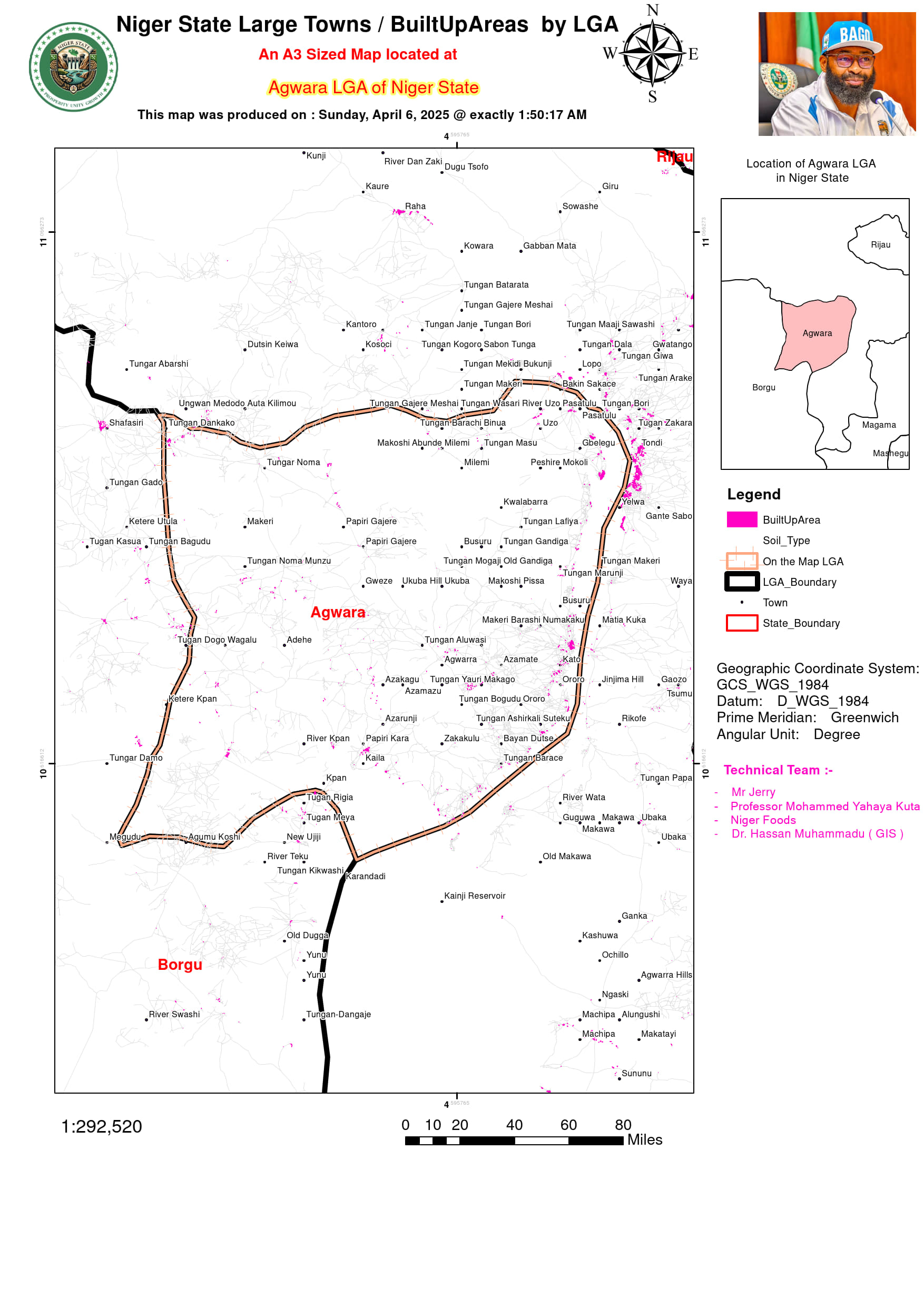
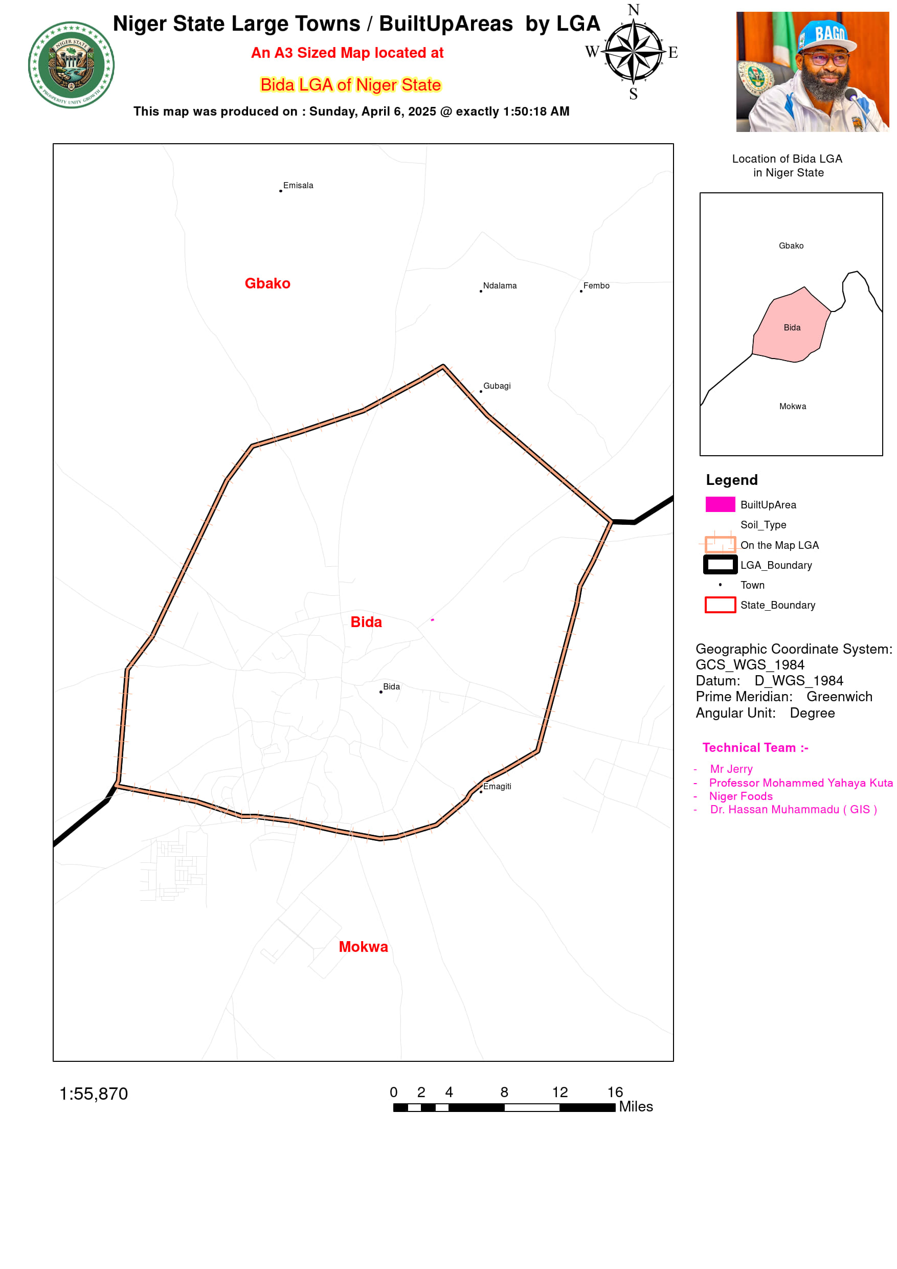
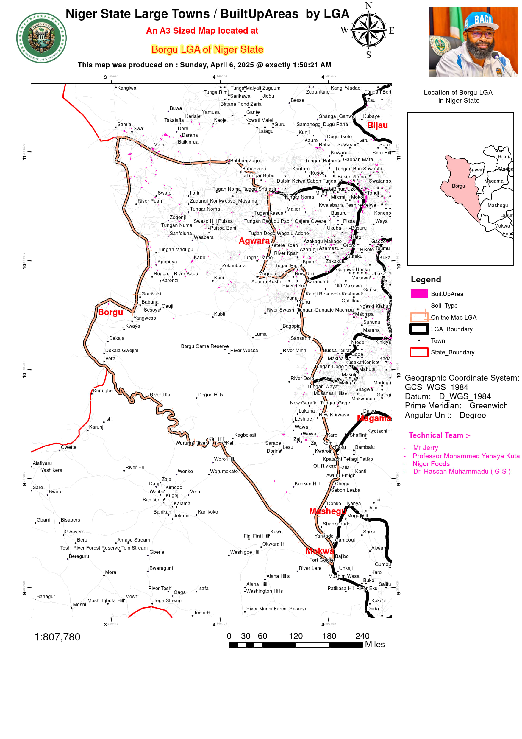
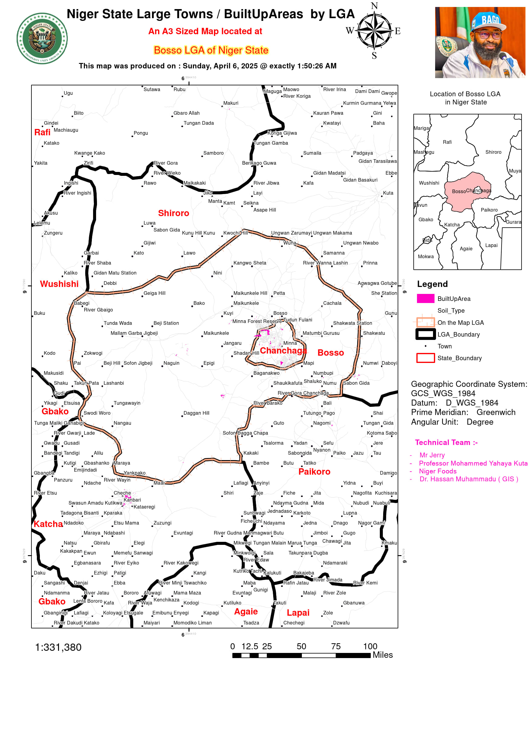
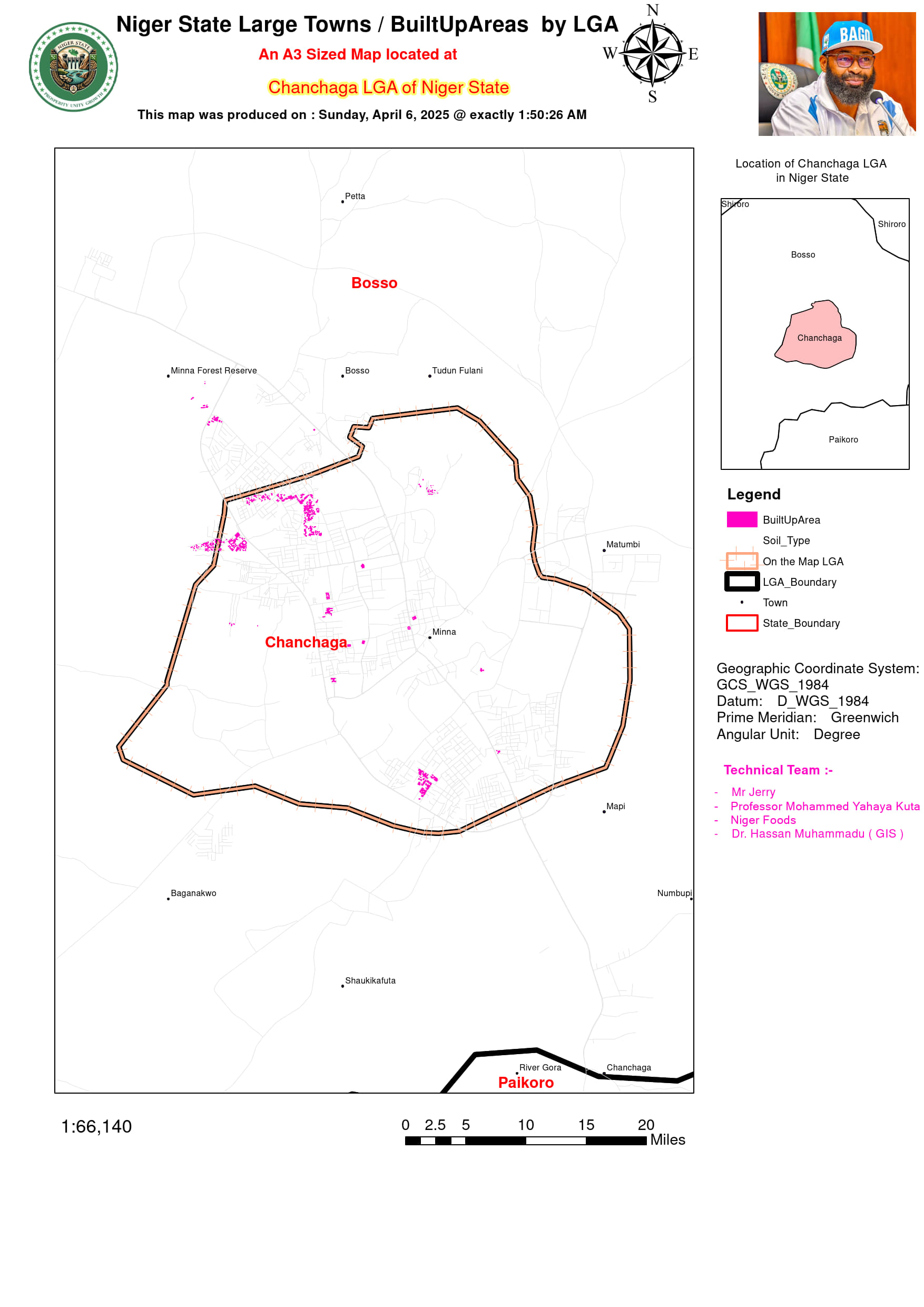
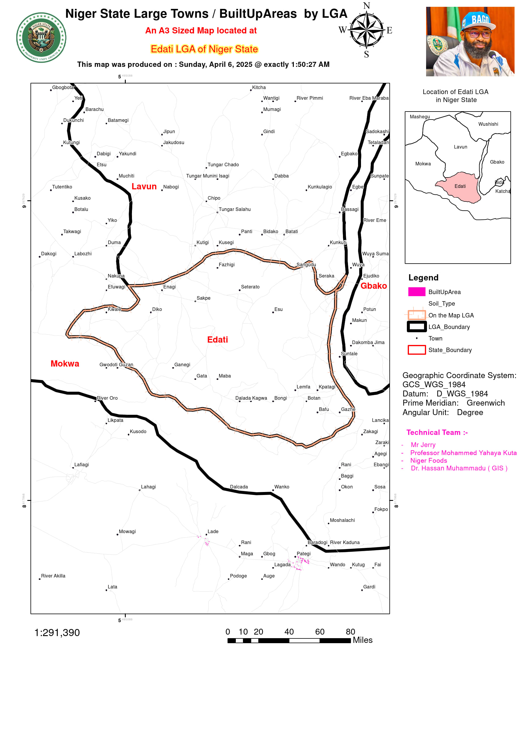
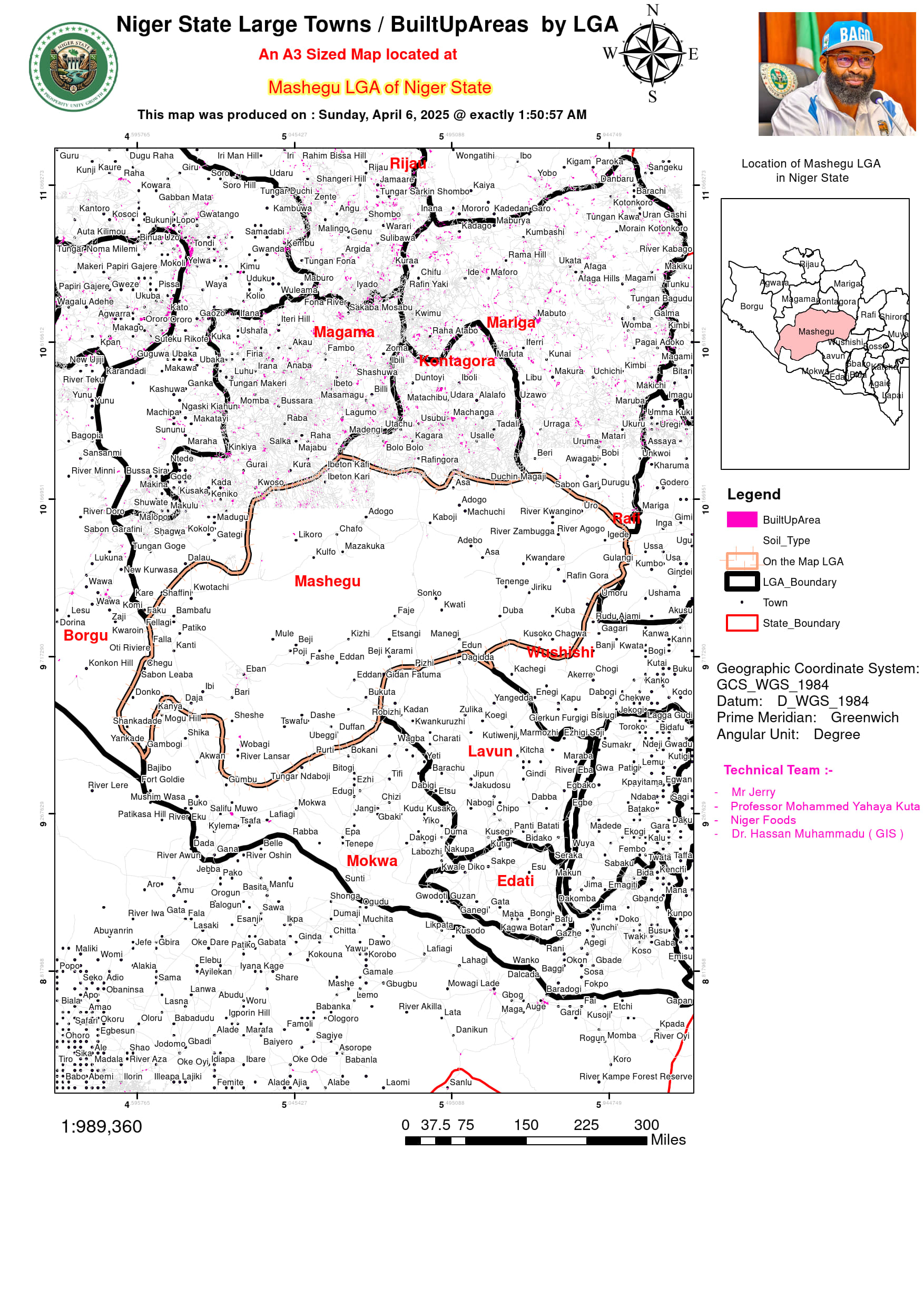
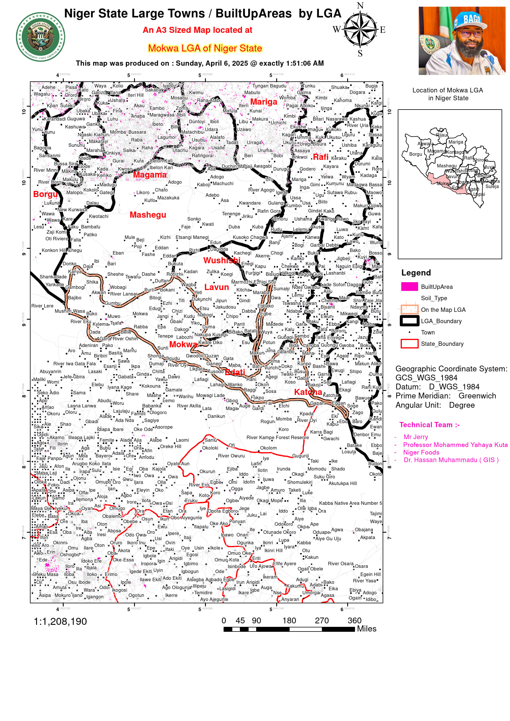
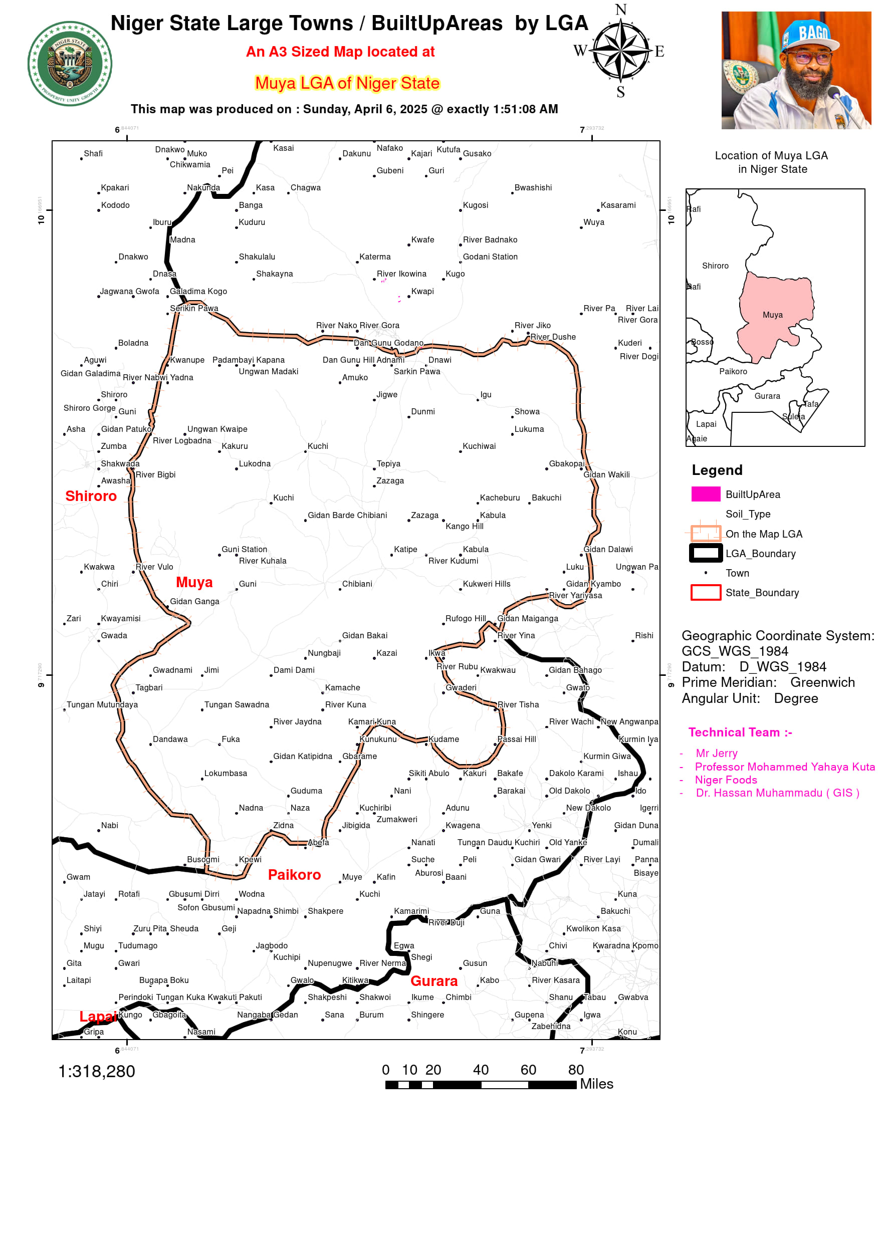
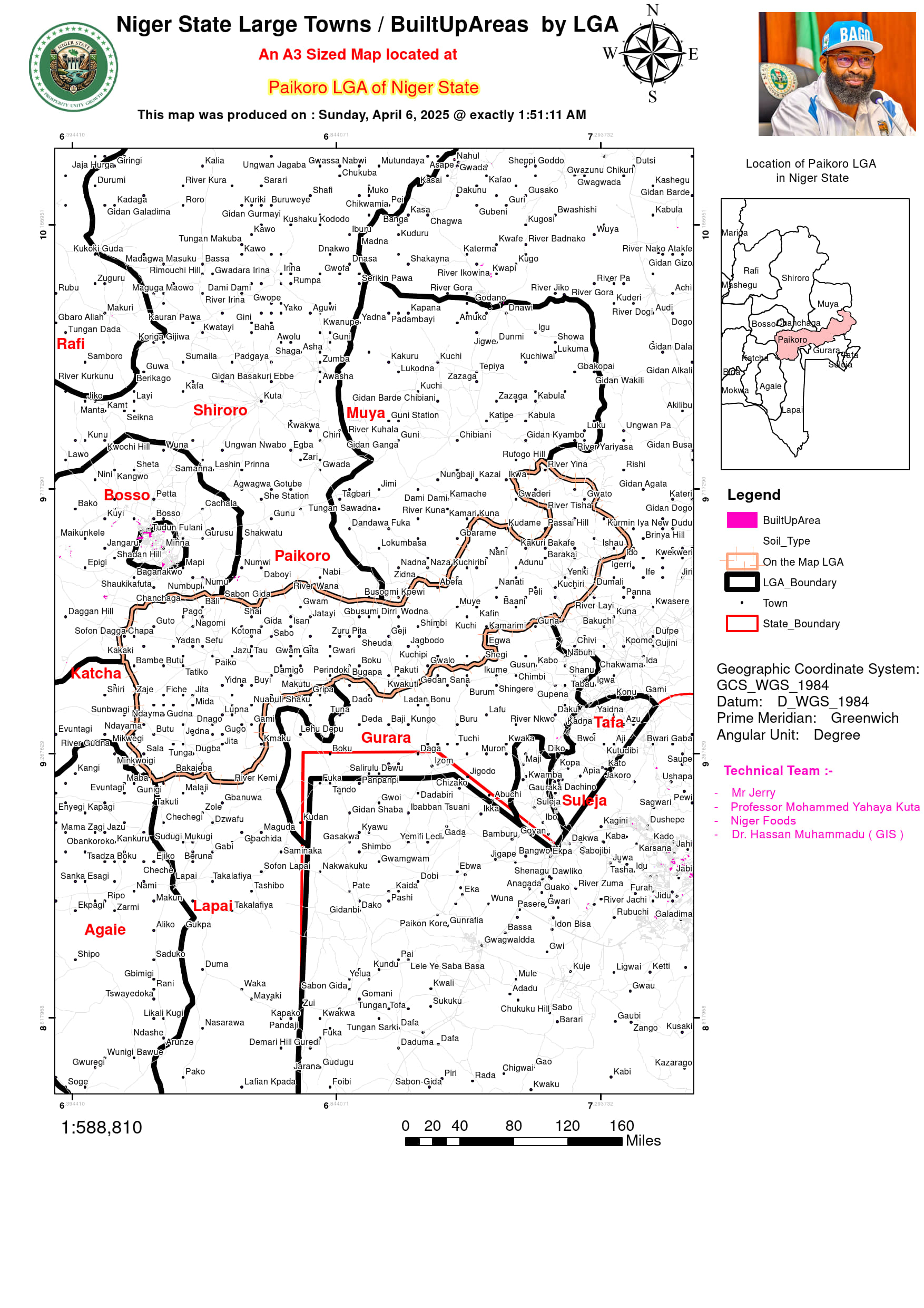
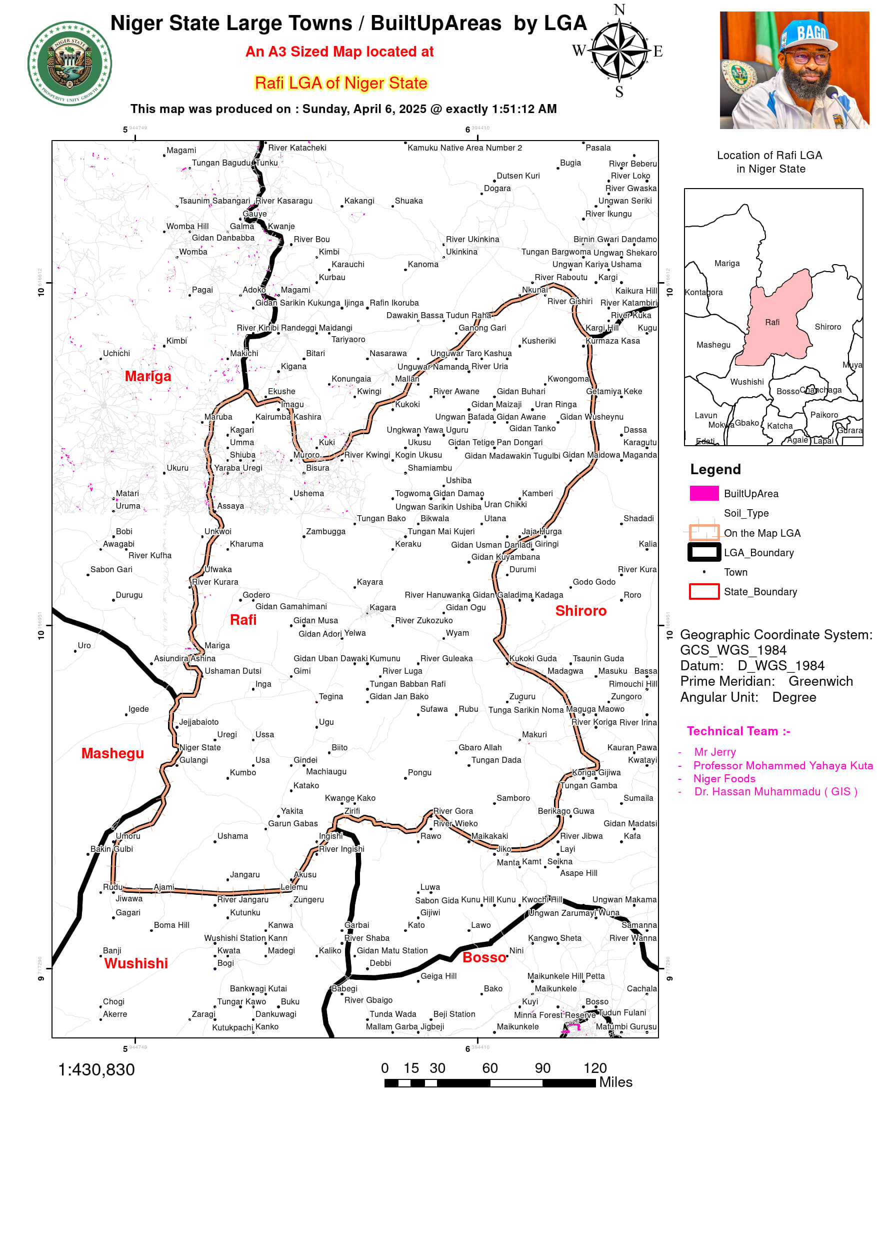
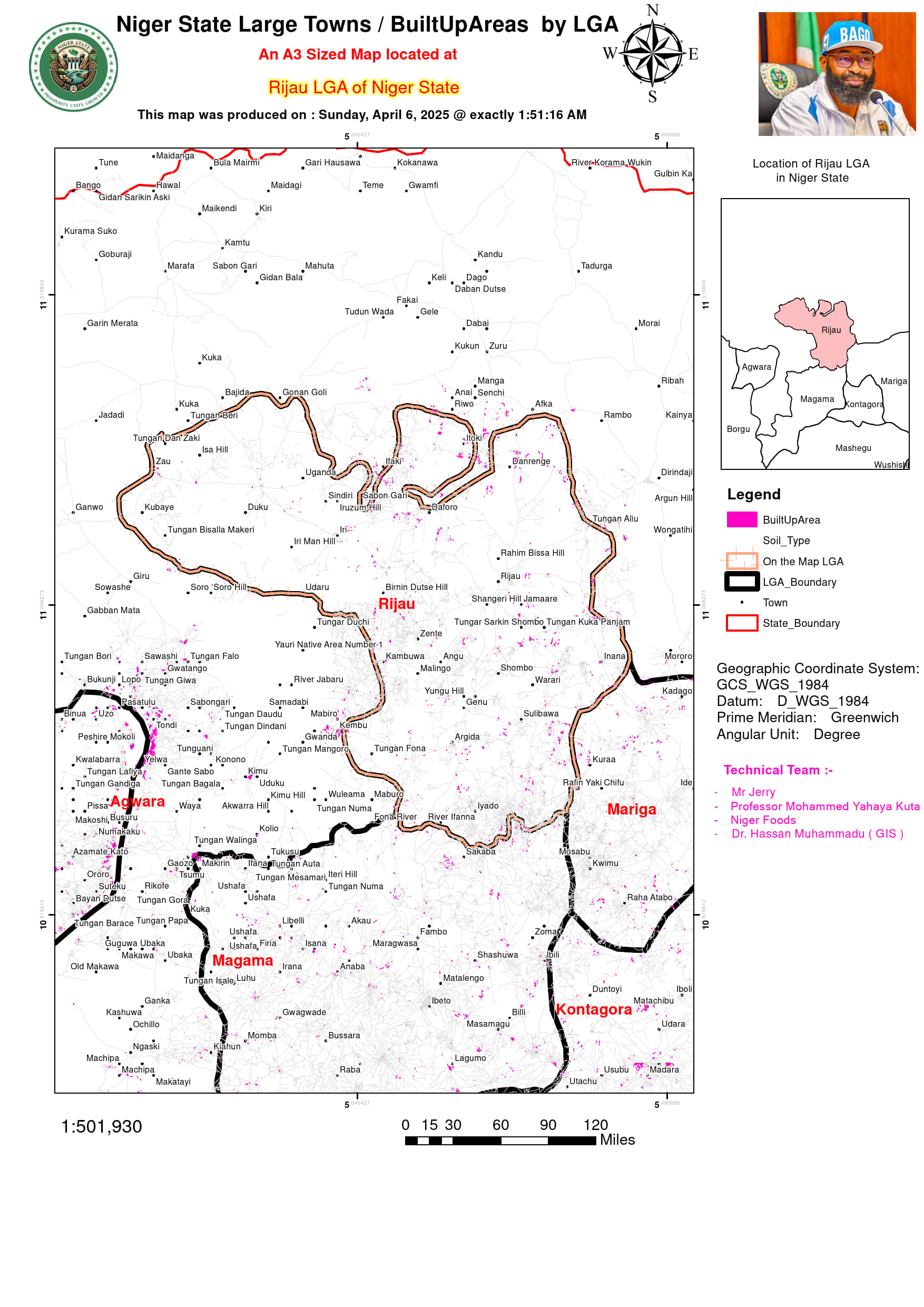
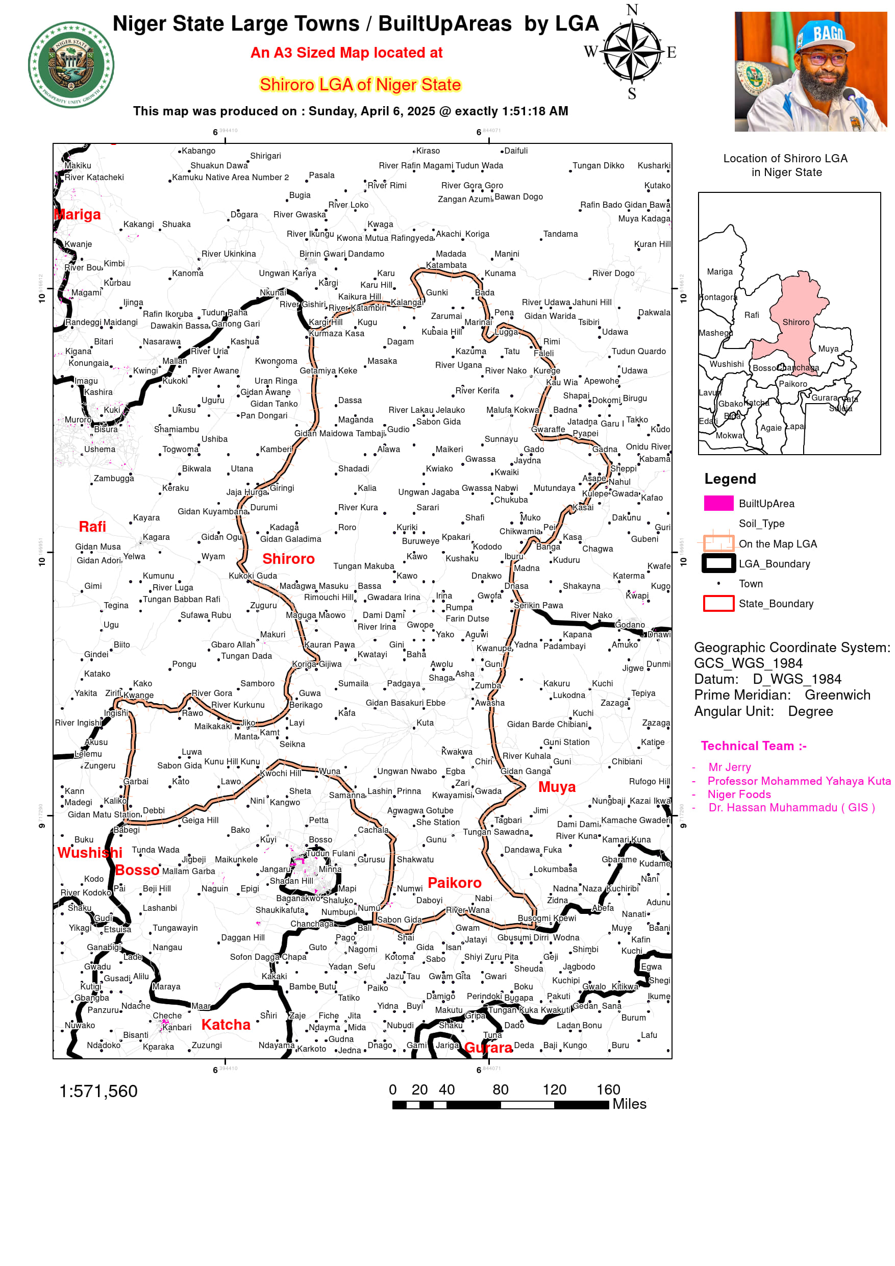
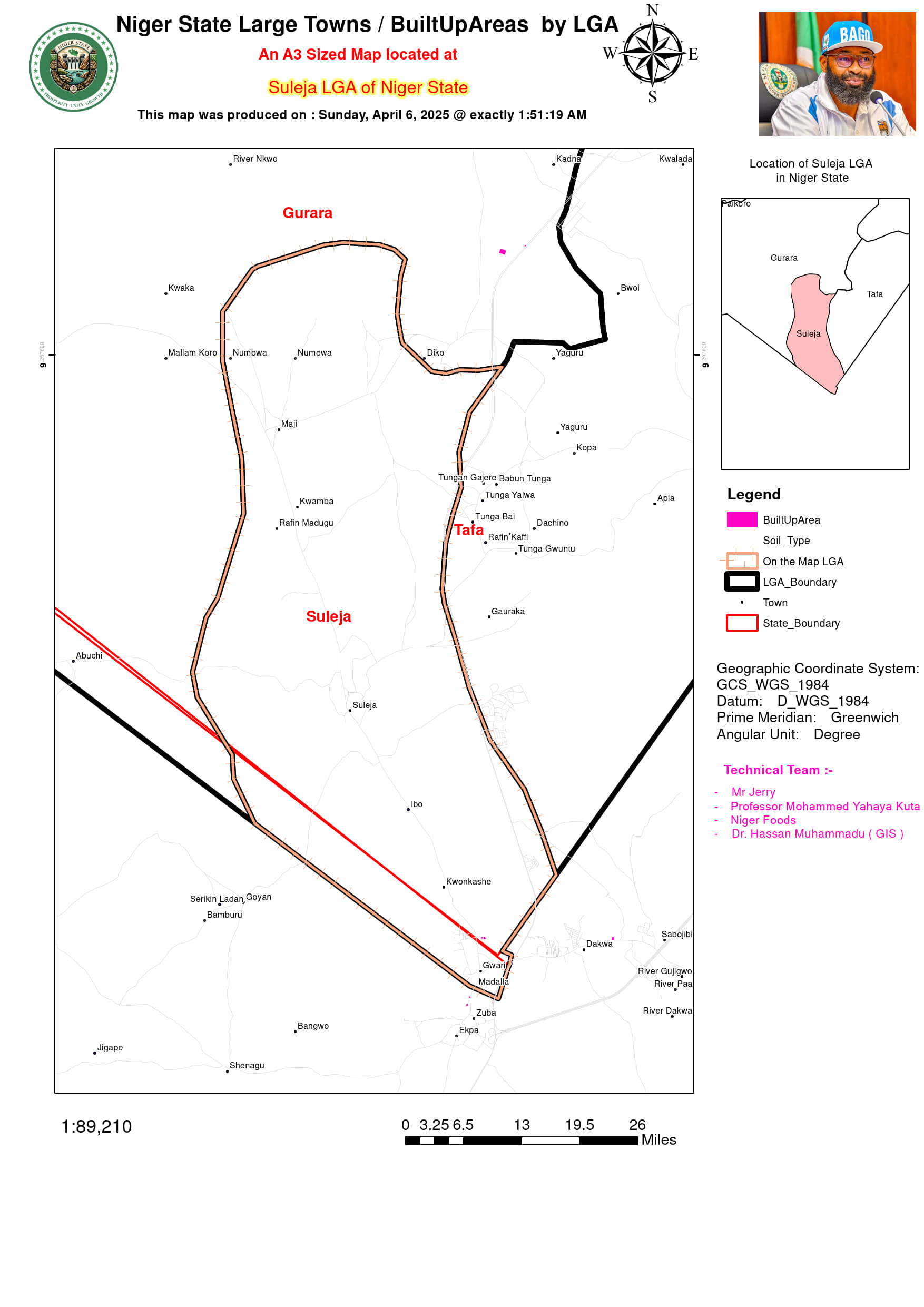
Niger State Large Settlements / BuiltUpAreas
Niger State, the largest state in Nigeria by land area, exhibits a diverse pattern of built-up areas that reflect its unique blend of urban, semi-urban, and rural settlements. These built-up zones, characterized by residential, commercial, industrial, and infrastructural development, have been expanding steadily due to population growth, economic activities, and urban sprawl. The state’s urban centers, including Minna, Bida, Suleja, and Kontagora, serve as focal points for development, each with distinct growth drivers and spatial patterns. Understanding the distribution and expansion of these built-up areas is crucial for effective urban planning and sustainable development in the state.
Minna, the state capital, stands out as the most rapidly growing urban center in Niger State. Its expansion is fueled by the presence of government institutions, educational facilities such as the Federal University of Technology, and vibrant commercial activities. Over the years, Minna has sprawled outward, with new developments extending toward Chanchaga, Tunga, and Maikunkele. The city’s land use is a mix of residential, commercial, and administrative functions, creating a dynamic but increasingly congested urban environment. Similarly, Bida, known for its rich cultural heritage and traditional crafts, has experienced growth along major transportation routes like the Bida-Minna and Bida-Lapai roads. The town’s economy, rooted in agriculture and small-scale industries, continues to attract new residents and businesses.
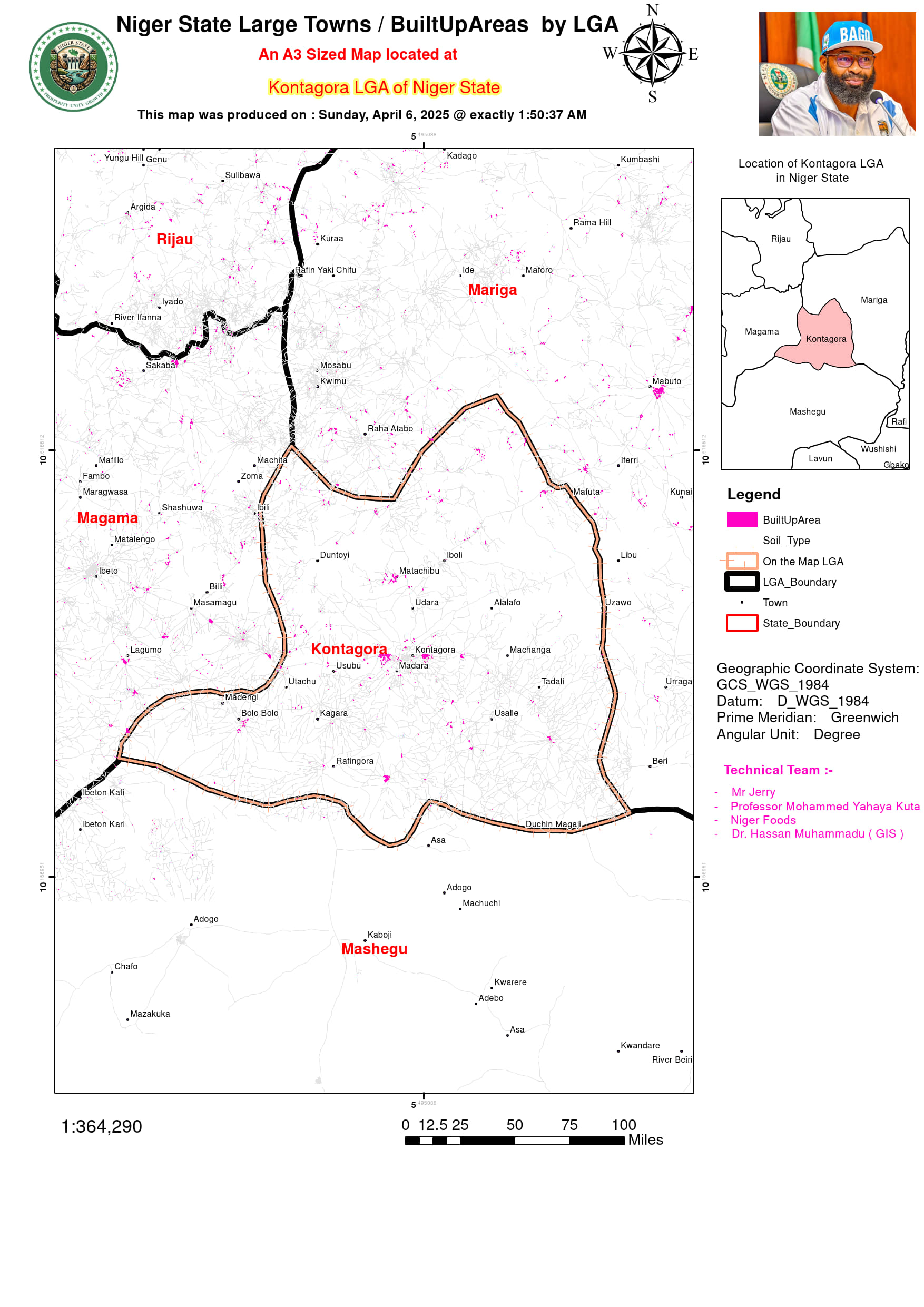
Suleja’s proximity to Abuja has made it a hotspot for urban expansion, as it serves as a spillover settlement for workers commuting to the Federal Capital Territory. This has led to rapid but often unplanned development, resulting in challenges such as land disputes and inadequate infrastructure. Kontagora, another key urban center, functions as a major commercial hub in the northern part of the state, with a bustling market for livestock and grains. The presence of Nigerian Army training facilities further contributes to its growth. Meanwhile, New Bussa, home to the Kainji Dam, has developed as a planned settlement with housing for dam workers and associated agricultural schemes.
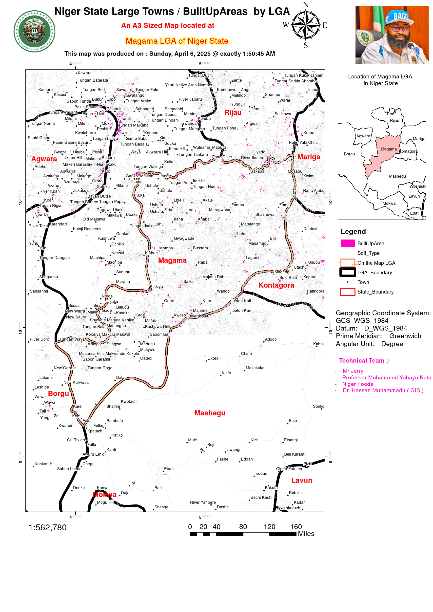
The use of GIS and remote sensing technologies has provided valuable insights into the patterns of urban expansion in Niger State. Satellite imagery, such as Landsat and Sentinel-2 data, along with tools like the Normalized Difference Built-Up Index (NDBI), has been instrumental in mapping impervious surfaces and distinguishing urban areas from vegetation. Nighttime light data from VIIRS has also helped identify electrified settlements, offering a clearer picture of urbanization trends. Between 2000 and 2024, Minna and Suleja recorded the highest rates of urban expansion, with annual growth rates of 5-7%. This growth has often occurred haphazardly, encroaching on peri-urban farmlands and stretching along major highways, such as the Minna-Suleja-Abuja road.
Several factors drive urbanization in Niger State. Population growth, at an annual rate of 2.9%, exceeds the national average, with rural-urban migration playing a significant role as people move to cities for education, employment, and better services. The state’s proximity to Abuja has turned towns like Suleja, Madalla, and Maje into dormitory communities for workers in the Federal Capital Territory. Economic activities, ranging from government jobs in Minna to agriculture and commerce in Bida and livestock trade in Kontagora, further attract residents. Improved transportation infrastructure, including the Minna Airport and the planned Abuja-Kaduna rail link extension, has also facilitated urban growth. Additionally, the availability of cheaper land compared to Abuja has drawn developers and investors to the state
